High Park North, Toronto
Map
Gallery
Facts and practical information
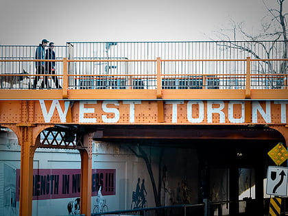
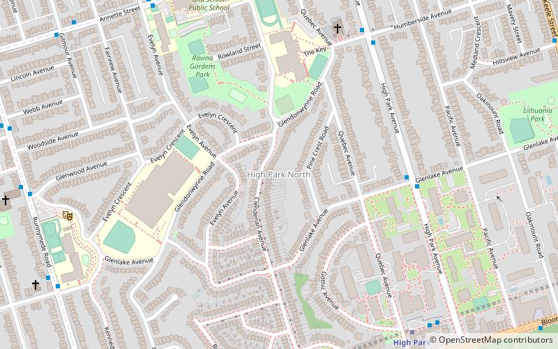
High Park North, or often simply High Park, after the park, is a neighbourhood in Toronto, Ontario, Canada. It is bounded on the south by Bloor Street, on the west by Runnymede Road, on the north by Annette Street, Quebec Avenue and Humberside Avenue, and on the east by the GO Transit Weston Subdivision rail tracks. It is located in the Parkdale—High Park provincial and federal electoral districts. The area east of Keele Street is also known informally as the "West Bend" neighbourhood. ()
Coordinates: 43°39'27"N, 79°28'15"W
Address
West End (High Park North)Toronto
ContactAdd
Social media
Add
Day trips
High Park North – popular in the area (distance from the attraction)
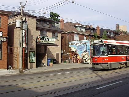
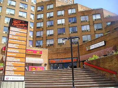
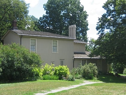
Nearby attractions include: High Park, Hugh's Room, The Crossways, Colborne Lodge.
Frequently Asked Questions (FAQ)
Which popular attractions are close to High Park North?
Nearby attractions include Westminster-Branson, Toronto (6 min walk), Portuguese Seventh-day Adventist Church, Toronto (10 min walk), Runnymede United Church, Toronto (11 min walk), High Park, Toronto (13 min walk).
How to get to High Park North by public transport?
The nearest stations to High Park North:
Bus
Metro
Tram
Train
Bus
- Glenlake Avenue • Lines: 30, 30B (6 min walk)
- Humberside Avenue • Lines: 30, 30B (7 min walk)
Metro
- High Park • Lines: 2 (9 min walk)
- Runnymede • Lines: 2 (12 min walk)
Tram
- Dundas West Station • Lines: 504A, 505 (23 min walk)
- Parkside Drive • Lines: 506 (23 min walk)
Train
- Bloor (26 min walk)

 Subway
 Streetcar system
 PATH
PATH
