High Park, Toronto
Map
Map

Facts and practical information
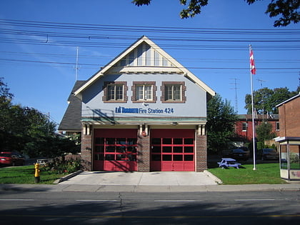
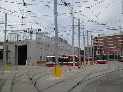
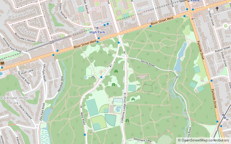
High Park Forest School is a former special school in High Park, Toronto, Ontario, Canada. It was a school founded to provide a boost to children who were tubercular or had other physical detriments. Today, it is an outdoor environmental education facility run by a local non-profit organization called the High Park Nature Centre. It is located in High Park west of downtown, on Colborne Lodge Road. ()
Elevation: 361 ft a.s.l.Coordinates: 43°39'5"N, 79°27'56"W
Address
1873 Bloor St WWest End (High Park)Toronto M6R 2Z3
Contact
+1 416-392-8188
Social media
Add
Day trips
High Park – popular in the area (distance from the attraction)
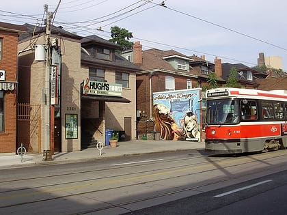
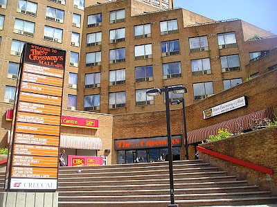
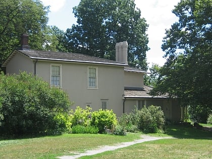
Nearby attractions include: High Park, Hugh's Room, The Crossways, Colborne Lodge.
Frequently Asked Questions (FAQ)
Which popular attractions are close to High Park?
Nearby attractions include High Park, Toronto (11 min walk), High Park North, Toronto (13 min walk), Church of St. Martin-in-the-Fields, Toronto (14 min walk), Runnymede Theatre, Toronto (15 min walk).
How to get to High Park by public transport?
The nearest stations to High Park:
Metro
Bus
Tram
Train
Metro
- High Park • Lines: 2 (5 min walk)
- Keele • Lines: 2 (11 min walk)
Bus
- High Park Station • Lines: 30, 30B (5 min walk)
- Glenlake Avenue • Lines: 30, 30B (11 min walk)
Tram
- Parkside Drive • Lines: 506 (11 min walk)
- Stop • Lines: 506 (12 min walk)
Train
- Bloor (22 min walk)

 Subway
 Streetcar system
 PATH
PATH
