Runnymede United Church, Toronto
Map
Map

Facts and practical information
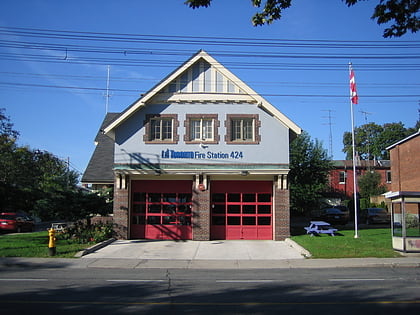
The Runnymede fire hall was operated by Toronto Fire Services, from 1928 to 2014. Then-mayor Rob Ford ordered the fire hall shut down, as a cost-saving measure. Toronto Fire Services repurposed the heritage structure, and reopened it as a public education center, on October 13, 2016. ()
Coordinates: 43°39'25"N, 79°28'45"W
Address
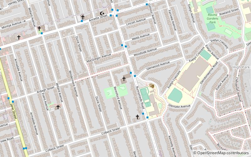
432 Runnymede RoadWest End (Runnymede)Toronto
Contact
+1 416-767-6729
Social media
Add
Day trips
Runnymede United Church – popular in the area (distance from the attraction)
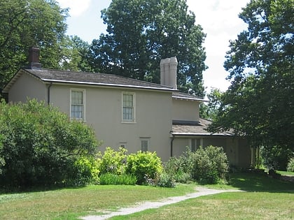
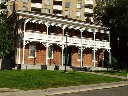
Nearby attractions include: High Park, Colborne Lodge, Lambton House, High Park.
Frequently Asked Questions (FAQ)
Which popular attractions are close to Runnymede United Church?
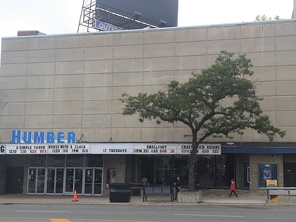
Nearby attractions include Westminster-Branson, Toronto (6 min walk), High Park North, Toronto (11 min walk), Bloor West Village, Toronto (11 min walk), Runnymede Theatre, Toronto (12 min walk).
How to get to Runnymede United Church by public transport?
The nearest stations to Runnymede United Church:
Bus
Metro
Tram
Bus
- Runnymede (10 min walk)
- Jane (14 min walk)
Metro
- Runnymede • Lines: 2 (10 min walk)
- Jane • Lines: 2 (14 min walk)
Tram
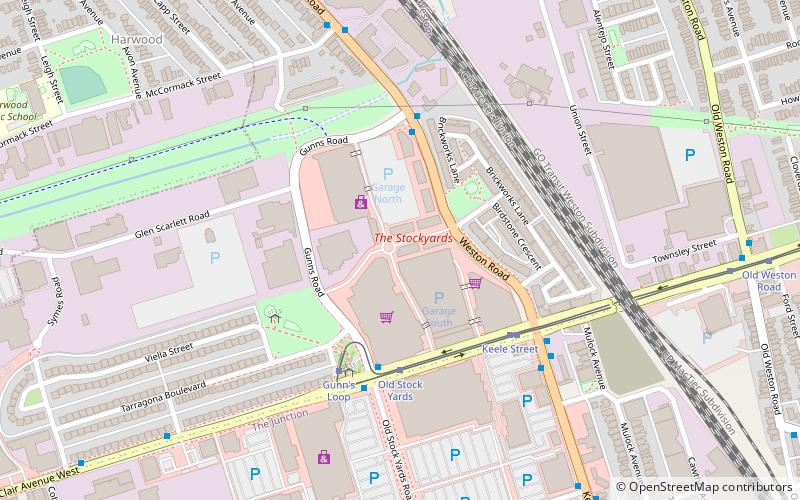
- Gunn's Loop • Lines: 512 (29 min walk)
- Old Stock Yards • Lines: 512 (29 min walk)
 Subway
 Streetcar system
 PATH
PATH
