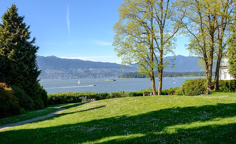
Vancouver Lawn Tennis Club, Vancouver
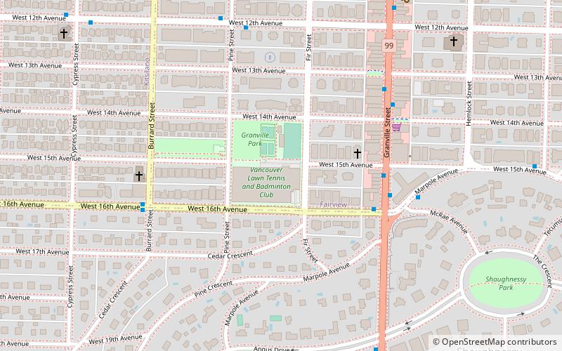
Map
Facts and practical information
Coordinates: 49°15'28"N, 123°8'31"W
Getting there by public transportation
Public transportation stops near this location
- Metro
- Bus
- Trolleybus
- Ferry
 Metro
Metro
- Calculate routeWest 16th Avenue at Granville Street 4 min walk
- Calculate routeGranville St at West 15th Ave 4 min walk
- Calculate routeMarpole Avenue at McRae Avenue 5 min walk
- Calculate routeGranville St at West 15th Ave 4 min walk
- Calculate routeGranville Island Terminal 28 min walk
- Calculate routeGranville Island Dock 28 min walk
- Calculate routeDavid Lam Park Terminal 30 min walk
- Calculate routeHornby Terminal 31 min walk
- Calculate routeYaletown-Roundhouse 38 min walk
Maps SkyTrain
SkyTrainDay trips


Frequently Asked Questions (FAQ)
Which popular attractions are close to Vancouver Lawn Tennis Club?
Nearby attractions include Canadian Memorial United Church and Centre For Peace, Vancouver (6 min walk), Hycroft Gallery, Vancouver (6 min walk), Main Street, Vancouver (11 min walk), Douglas Reynolds Gallery, Vancouver (13 min walk).
How to get to Vancouver Lawn Tennis Club by public transport?
The nearest stations to Vancouver Lawn Tennis Club:
Bus
Trolleybus
Ferry
Metro
Bus
- West 16th Avenue at Granville Street • Lines: 33 (4 min walk)
- Granville St at West 15th Ave • Lines: N10 (4 min walk)
Trolleybus
- Granville St at West 15th Ave • Lines: 10 (4 min walk)
Ferry
- Granville Island Terminal • Lines: Aquabus (28 min walk)
- Granville Island Dock • Lines: False Creek Ferries Route 1, False Creek Ferries Route 2, False Creek Ferries Route 3 (28 min walk)
Metro
- Yaletown-Roundhouse • Lines: Canada Line (38 min walk)