Waverley Heights, Winnipeg
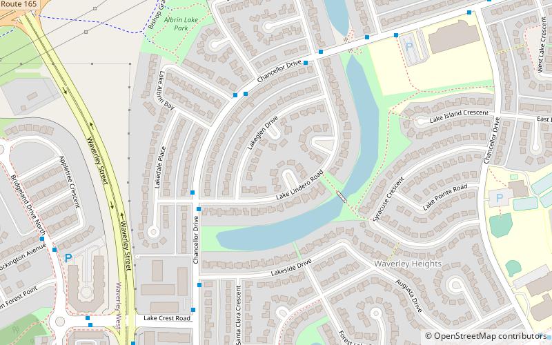
Map
Facts and practical information
Area: 0.77 mi²Coordinates: 49°48'36"N, 97°10'8"W
Address
Fort Garry (Waverley Heights)Winnipeg
ContactAdd
Social media
Add
Getting there by public transportation
Public transportation stops near this location
- Bus
 Bus
Bus
- Calculate routeNorthbound Chancellor at Lake Albrin 3 min walk
- Calculate routeSouthbound Chancellor at Lake Albrin 4 min walk
Day trips


Frequently Asked Questions (FAQ)
How to get to Waverley Heights by public transport?
The nearest stations to Waverley Heights:
Bus
Bus
- Northbound Chancellor at Lake Albrin • Lines: 676, 693 (3 min walk)
- Southbound Chancellor at Lake Albrin • Lines: 676, 693 (4 min walk)