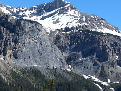
Wapta Mountain, Yoho National Park
Map
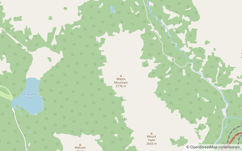
Map

Facts and practical information
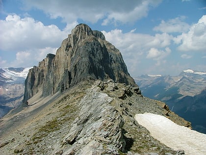
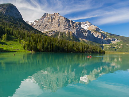
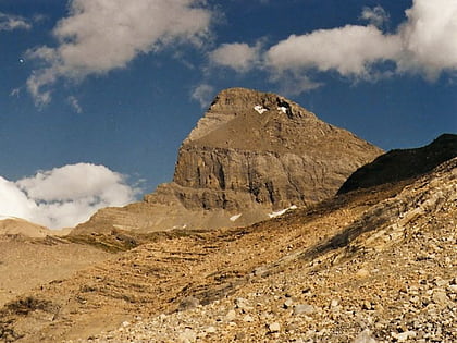
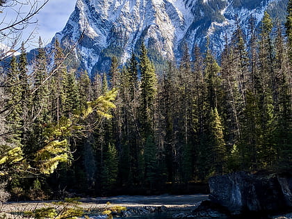
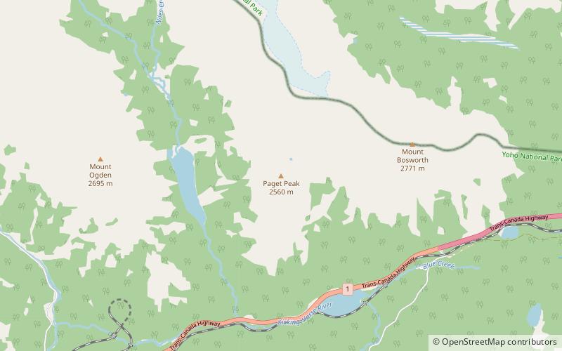
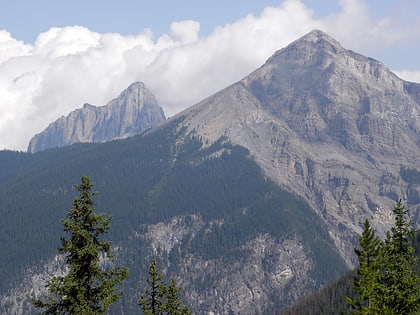
Wapta Mountain is a mountain located in the Canadian Rockies between Emerald Lake and Yoho Valley in Yoho National Park, British Columbia, Canada. It stands just north of the ridge containing the Burgess Shale fossil beds. Along with The Vice President and Mount Burgess, Wapta Mountain forms the backdrop to Emerald Lake, and marks the southern end of the President Range. ()
First ascent: 1901Elevation: 9114 ftCoordinates: 51°27'4"N, 116°28'48"W
Address
Yoho National Park
ContactAdd
Social media
Add
Day trips
Wapta Mountain – popular in the area (distance from the attraction)
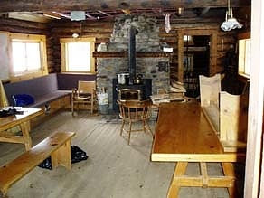
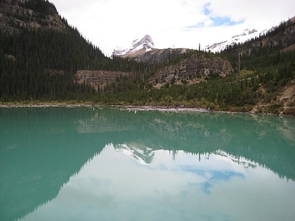
Nearby attractions include: Takakkaw Falls, Emerald Lake, Stanley Mitchell hut, Sherbrooke Lake.
