Bridle Path–Sunnybrook–York Mills, Toronto

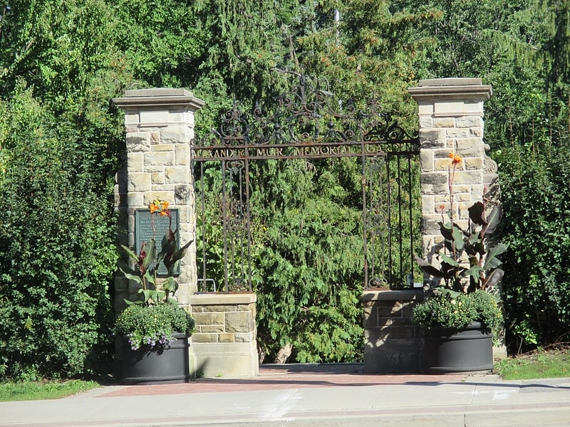
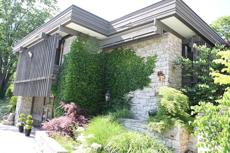
Gallery (1)
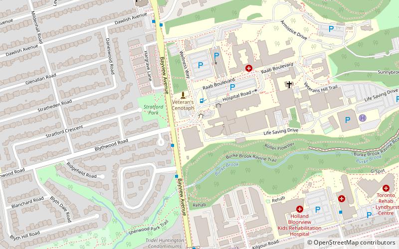
Map
Map
Facts and practical information
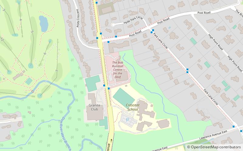
Bridle Path–Sunnybrook–York Mills is a municipal and census district in Toronto, Ontario, Canada, and it is the name officially designated by Toronto City Hall. Traditionally, Torontonians regard this area as five distinct neighbourhoods that were formerly in North York before it was amalgamated into Toronto in 1998. The area is part of the federal and provincial electoral district of Don Valley West, and Toronto electoral ward 25: Don Valley West. ()
Coordinates: 43°43'16"N, 79°22'40"W
Address
North York (Bridle Path)Toronto
ContactAdd
Social media
Add
Getting there by public transportation
Public transportation stops near this location
- Metro
- Bus
 Metro
Metro
- Calculate routeBlythwood Road 2 min walk
- Calculate routeSunnydene Crescent 4 min walk
- Calculate routeValleyanna Drive 6 min walk
- Calculate routeDawlish Avenue 7 min walk
- Calculate routeEglinton 38 min walk
Maps SubwayMaps
 Streetcar systemMaps
 PATH
PATH
SubwayMapsStreetcar systemMapsPATHDay trips


Frequently Asked Questions (FAQ)
Which popular attractions are close to Bridle Path–Sunnybrook–York Mills?
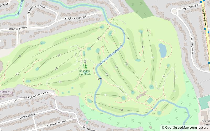
Nearby attractions include Mount Hope Catholic Cemetery, Toronto (13 min walk), Bayview Bridge, Toronto (18 min walk), Sunnybrook Park, Toronto (20 min walk), Wanless Park, Toronto (23 min walk).
How to get to Bridle Path–Sunnybrook–York Mills by public transport?
The nearest stations to Bridle Path–Sunnybrook–York Mills:
Bus
Metro
Bus
- Blythwood Road • Lines: 11A, 11C (2 min walk)
- Sunnydene Crescent • Lines: 11A, 11C (4 min walk)
Metro
- Eglinton • Lines: 1 (38 min walk)