Evangelical United Chr of Deaf, Toronto
Map
Facts and practical information
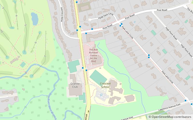
The Evangelical Church of the Deaf is a congregation of the United Church of Canada for the deaf. It is located at the Bob Rumball Centre for the Deaf in Toronto, Ontario. Services, conducted entirely by signing, draw deaf worshipers who were reared in Catholic churches and in an array of Protestant denominations. ()
Coordinates: 43°44'5"N, 79°22'49"W
Address
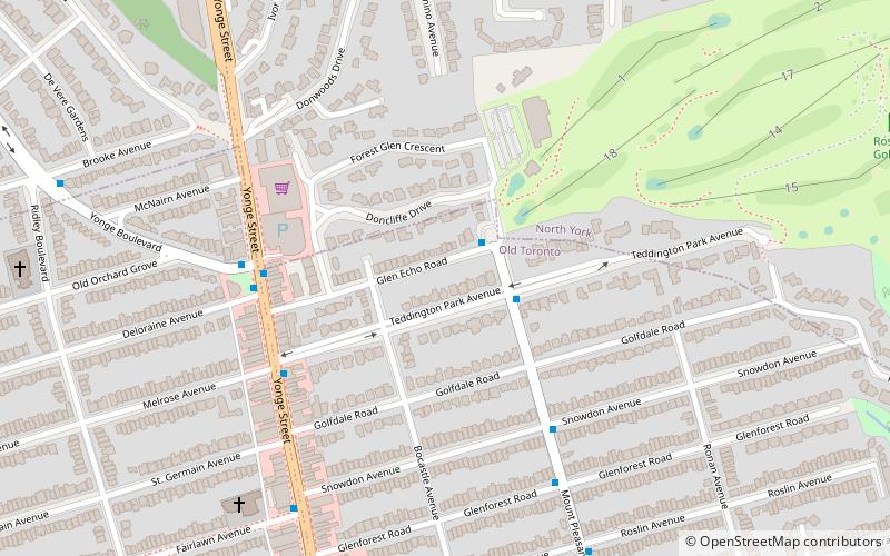
North York (Bridle Path)Toronto
Contact
+1 416-444-7203
Social media
Add
Getting there by public transportation
Public transportation stops near this location
- Metro
- Bus
 Metro
Metro
- Calculate route2395 Bayview Avenue 2 min walk
- Calculate route2350 Bayview Ave 2 min walk
- Calculate routePost Road 5 min walk
- Calculate routeThe Bridle Path 8 min walk
- Calculate routeLawrence 32 min walk
Maps SubwayMaps
 Streetcar systemMaps
 PATH
PATH
SubwayMapsStreetcar systemMapsPATHDay trips


Frequently Asked Questions (FAQ)
Which popular attractions are close to Evangelical United Chr of Deaf?
Nearby attractions include Bayview Bridge, Toronto (8 min walk), Wanless Park, Toronto (18 min walk).
How to get to Evangelical United Chr of Deaf by public transport?
The nearest stations to Evangelical United Chr of Deaf:
Bus
Metro
Bus
- 2395 Bayview Avenue • Lines: 11A (2 min walk)
- 2350 Bayview Ave • Lines: 11A (2 min walk)
Metro
- Lawrence • Lines: 1 (32 min walk)