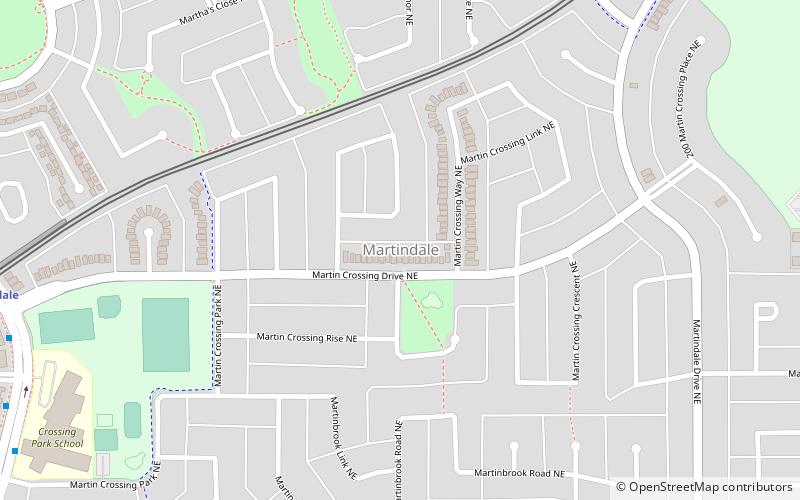
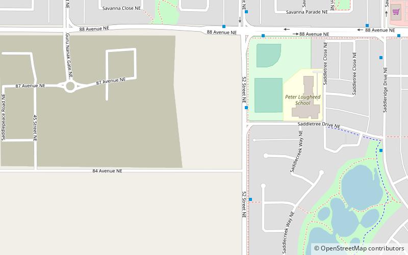
Martindale, Calgary
Map
Facts and practical information
Martindale is a residential neighbourhood in the northeast quadrant of Calgary, Alberta. It is bounded to the north by 80 Avenue NE, to the east by Falconridge Boulevard, to the south by 64 Avenue NE and to the west by Métis Trail. The Martindale LRT station opened in August 2012. ()
Area: 1.04 mi²Coordinates: 51°7'5"N, 113°57'33"W
Getting there by public transportation
Public transportation stops near this location
- Bus
- Light rail
 Bus
Bus
- Calculate routeMartindale 10 min walk
- Calculate routeSaddletowne 18 min walk
- Calculate routeMcKnight-Westwinds 25 min walk
- Calculate routeSaddletowne LRT Station SB 18 min walk
- Calculate routeSaddletowne Bus Terminal 19 min walk
- Calculate routeMcKnight-Westwinds 25 min walk
- Calculate routeMcKnight-Westwinds LRT Station 25 min walk
Day trips

Frequently Asked Questions (FAQ)
Which popular attractions are close to Martindale?
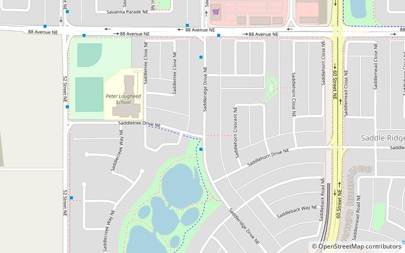
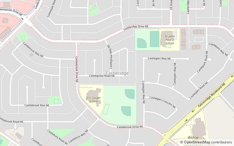
Nearby attractions include Calgary-McCall, Calgary (21 min walk), Castleridge, Calgary (22 min walk), Saddle Ridge, Calgary (23 min walk).
How to get to Martindale by public transport?
The nearest stations to Martindale:
Light rail
Bus
Light rail
- Martindale • Lines: 202 (10 min walk)
- Saddletowne • Lines: 202 (18 min walk)
Bus
- Saddletowne LRT Station SB • Lines: 303 (18 min walk)
- Saddletowne Bus Terminal (19 min walk)