Rosedale Valley Bridge, Toronto

Gallery (1)
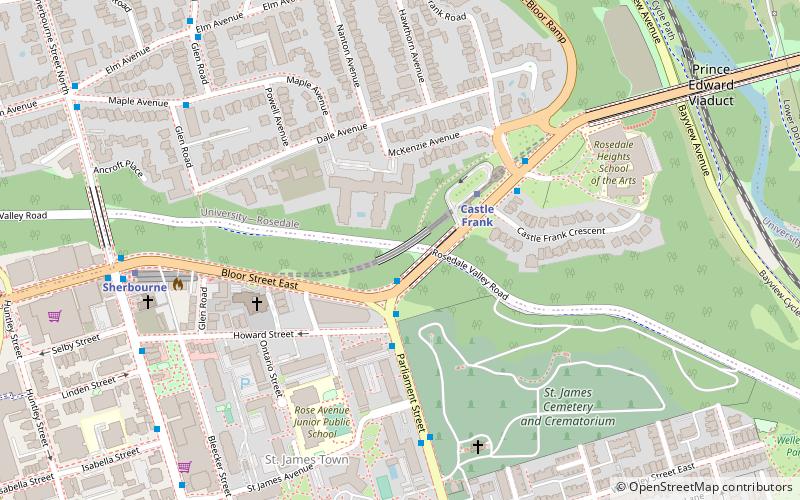
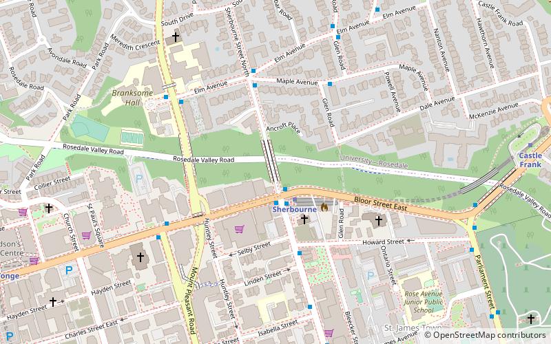
Map
Map
Facts and practical information
The Rosedale Valley Bridge is a covered arch bridge in the northeast of Downtown Toronto, Ontario. Built in 1966 by architect John B. Parkin, the concrete bridge carries Line 2 trains of the subway across the Rosedale Ravine. ()
Coordinates: 43°40'21"N, 79°22'15"W
Address
Midtown (Rosedale)Toronto
ContactAdd
Social media
Add
Getting there by public transportation
Public transportation stops near this location
- Metro
- Bus
- Tram
 Metro
Metro
- Calculate routeParliament Street 1 min walk
- Calculate routeHoward Street 3 min walk
- Calculate routeCastle Frank 3 min walk
- Calculate routeCastle Frank 3 min walk
- Calculate routeSherbourne 7 min walk
- Calculate routeBroadview 17 min walk
- Calculate routeBloor-Yonge 20 min walk
- Calculate routeParliament Street 16 min walk
- Calculate routeCarlton Street 16 min walk
- Calculate routeOntario Street 16 min walk
- Calculate routeDanforth Avenue 17 min walk
Maps SubwayMaps
 Streetcar systemMaps
 PATH
PATH
SubwayMapsStreetcar systemMapsPATHDay trips


Frequently Asked Questions (FAQ)
Which popular attractions are close to Rosedale Valley Bridge?
Nearby attractions include St. James Cemetery, Toronto (6 min walk), St. James Town, Toronto (7 min walk), Trinity Evangelical Lutheran Church, Toronto (8 min walk), Sherbourne Blockhouse, Toronto (9 min walk).
How to get to Rosedale Valley Bridge by public transport?
The nearest stations to Rosedale Valley Bridge:
Bus
Metro
Tram
Bus
- Parliament Street • Lines: 94A, 94B (1 min walk)
- Howard Street • Lines: 65, 94A, 94B (3 min walk)
Metro
- Castle Frank • Lines: 2 (3 min walk)
- Sherbourne • Lines: 2 (7 min walk)
Tram
- Parliament Street • Lines: 306, 506 (16 min walk)
- Carlton Street • Lines: 306, 506 (16 min walk)