Kingsview Village, Toronto
Map

Map

Facts and practical information
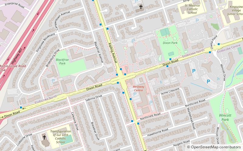
Kingsview Village is a neighbourhood in the city of Toronto, Ontario, Canada. It is located in the north end of the former city of Etobicoke, and is bounded on the north by Highway 401, on the east by the Humber River and St. Phillips Road, on the south by Dixon Road. It is relatively close to Toronto Pearson International Airport in Mississauga, and TTC bus routes connect it to the rest of the city. ()
Coordinates: 43°41'40"N, 79°33'31"W
Address
Central Etobicoke (Kingsview Village)Toronto
ContactAdd
Social media
Add
Day trips
Kingsview Village – popular in the area (distance from the attraction)
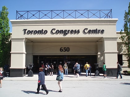
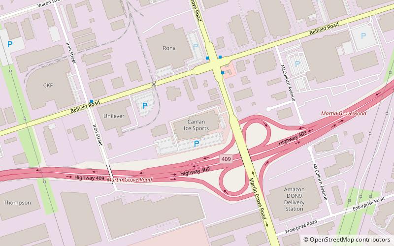
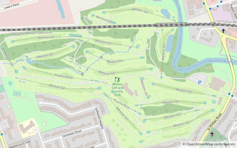
Nearby attractions include: Toronto Congress Centre, Richview, Canlan Ice Sports Etobicoke, Weston Golf and Country Club.
Frequently Asked Questions (FAQ)
How to get to Kingsview Village by public transport?
The nearest stations to Kingsview Village:
Bus
Train
Bus
- Kipling Avenue at Dixon Road North Side • Lines: 45A, 945 (1 min walk)
- Kipling Ave at Kingsview Blvd • Lines: 45A (5 min walk)
Train
- Etobicoke North (22 min walk)

 Subway
 Streetcar system
 PATH
PATH


