Charleswood, Calgary
Map
Facts and practical information
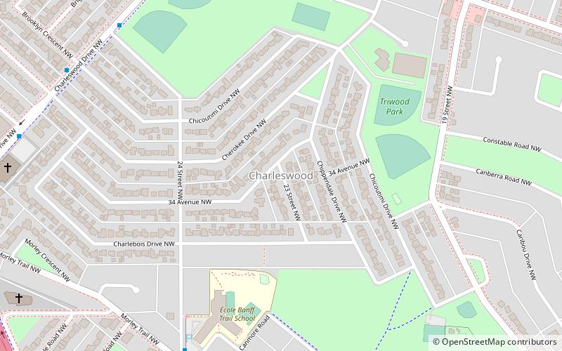
Charleswood is a residential neighbourhood in the northwest quadrant of Calgary, Alberta. It is located east of Crowchild Trail and the University of Calgary. It borders the Nose Hill Park to the north and the Confederation Park to the southeast. ()
Area: 0.89 mi²Coordinates: 51°5'3"N, 114°6'53"W
Getting there by public transportation
Public transportation stops near this location
- Bus
- Light rail
 Bus
Bus
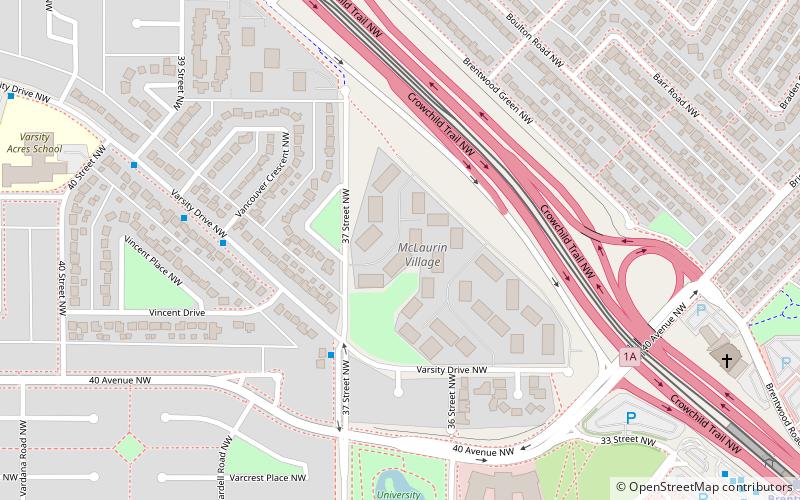
- Calculate routeUniversity 12 min walk
- Calculate routeBrentwood 20 min walk
- Calculate routeBanff Trail 24 min walk
- Calculate route31st Street NW Station 18 min walk
- Calculate routeBrentwood 21 min walk
- Calculate routeUniversity 21 min walk
Day trips


Frequently Asked Questions (FAQ)
How to get to Charleswood by public transport?
The nearest stations to Charleswood:
Light rail
Bus
Light rail
- University • Lines: 201 (12 min walk)
- Brentwood • Lines: 201 (20 min walk)
Bus
- 31st Street NW Station • Lines: 303 (18 min walk)
- Brentwood (21 min walk)