Calgary-Varsity, Calgary
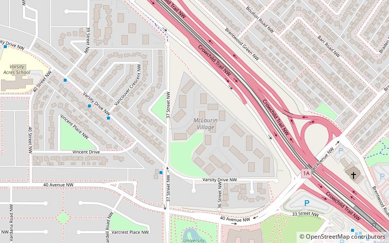
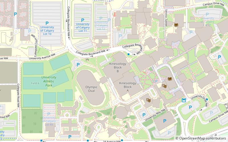
Map
Facts and practical information
Calgary-Varsity is a provincial electoral district in Calgary, Alberta, Canada. The district was created in 1993 and returns a single member to the Legislative Assembly of Alberta. ()
Coordinates: 51°5'24"N, 114°8'24"W
Address
Northwest Calgary (Varsity)Calgary
ContactAdd
Social media
Add
Getting there by public transportation
Public transportation stops near this location
- Bus
- Light rail
 Bus
Bus
- Calculate routeBrentwood 10 min walk
- Calculate routeUniversity 26 min walk
- Calculate routeDalhousie 34 min walk
- Calculate routeBrentwood LRT Station 11 min walk
- Calculate routeBrentwood 11 min walk
- Calculate route31st Street NW Station 19 min walk
- Calculate routeAlberta Children's Hospital Station NB 27 min walk
Day trips


Frequently Asked Questions (FAQ)
How to get to Calgary-Varsity by public transport?
The nearest stations to Calgary-Varsity:
Light rail
Bus
Light rail
- Brentwood • Lines: 201 (10 min walk)
- University • Lines: 201 (26 min walk)
Bus
- Brentwood LRT Station • Lines: 303 (11 min walk)
- Brentwood (11 min walk)