Shaganappi, Calgary
Map
Facts and practical information
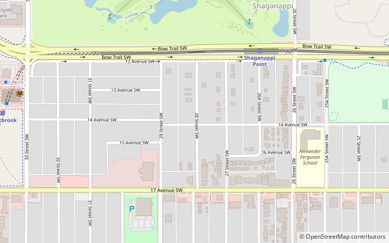
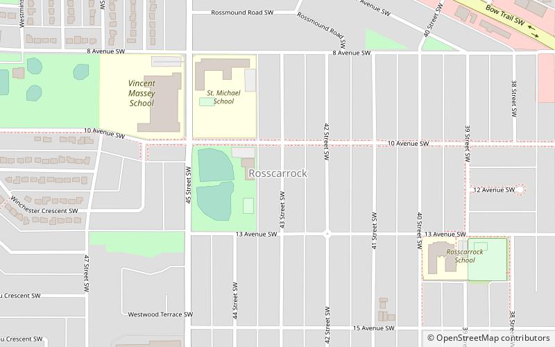
Shaganappi is a residential neighbourhood in the southwest quadrant of Calgary, Alberta. It is located between 17 Avenue SW and the Bow River. The Shaganappi golf course is located north of the Bow Trail. ()
Area: 222.39 acres (0.3475 mi²)Coordinates: 51°2'23"N, 114°7'41"W
Address
Southwest Calgary (Shaganappi)Calgary
ContactAdd
Social media
Add
Getting there by public transportation
Public transportation stops near this location
- Bus
- Light rail
 Bus
Bus
- Calculate routeShaganappi Point 5 min walk
- Calculate routeWestbrook 10 min walk
- Calculate route45 Street 30 min walk
- Calculate routeBow Trail & 26 Avenue SW 8 min walk
- Calculate routeWestbrook Station 10 min walk
- Calculate routeCrowchild Trail & 24 Street SW 14 min walk
Day trips


Frequently Asked Questions (FAQ)
Which popular attractions are close to Shaganappi?
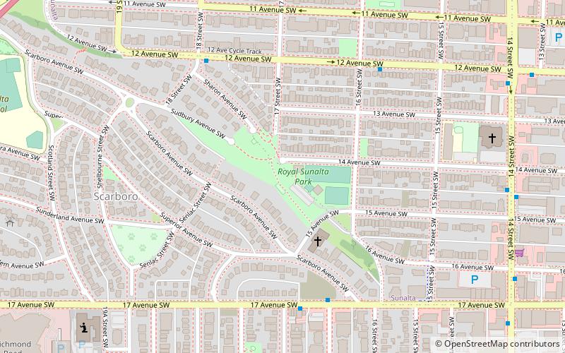
Nearby attractions include Spruce Cliff, Calgary (22 min walk), Baba's ArT HauS, Calgary (23 min walk), Scarboro, Calgary (24 min walk).
How to get to Shaganappi by public transport?
The nearest stations to Shaganappi:
Light rail
Bus
Light rail
- Shaganappi Point • Lines: 202 (5 min walk)
- Westbrook • Lines: 202 (10 min walk)
Bus
- Bow Trail & 26 Avenue SW • Lines: 72 (8 min walk)
- Westbrook Station • Lines: 306, 93 (10 min walk)