South Calgary, Calgary
Map
Facts and practical information
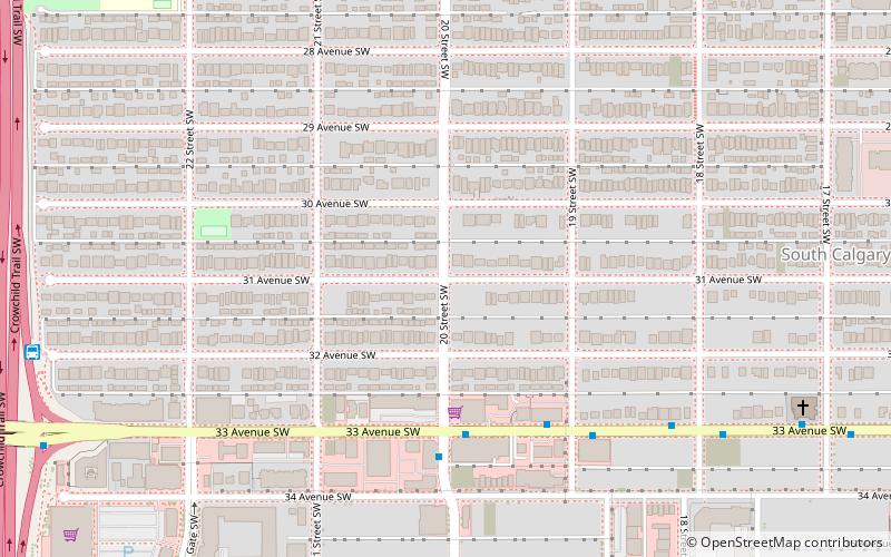
South Calgary is a residential neighbourhood in the southwest quadrant of Calgary, Alberta. It is located between 14th St west and Crowchild Trail. The community has an area redevelopment plan in place. ()
Area: 0.42 mi²Coordinates: 51°1'33"N, 114°6'34"W
Getting there by public transportation
Public transportation stops near this location
- Bus
- Light rail
 Bus
Bus
- Calculate route33 Avenue & 20 Street SW 4 min walk
- Calculate route20 Street & 33 Avenue SW 4 min walk
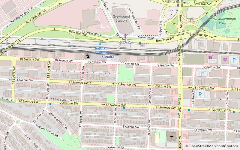
- Calculate routeShaganappi Point 33 min walk
- Calculate routeWestbrook 39 min walk
Day trips


Frequently Asked Questions (FAQ)
Which popular attractions are close to South Calgary?
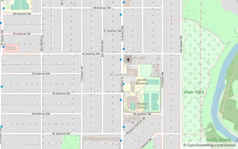
Nearby attractions include Marda Loop, Calgary (6 min walk), cSPACE, Calgary (10 min walk), Altadore, Calgary (22 min walk), CFB Currie, Calgary (22 min walk).
How to get to South Calgary by public transport?
The nearest stations to South Calgary:
Bus
Light rail
Bus
- 33 Avenue & 20 Street SW • Lines: 7 (4 min walk)
- 20 Street & 33 Avenue SW • Lines: 7 (4 min walk)
Light rail
- Shaganappi Point • Lines: 202 (33 min walk)
- Westbrook • Lines: 202 (39 min walk)