Mirvish+Gehry, Toronto
Map
Facts and practical information
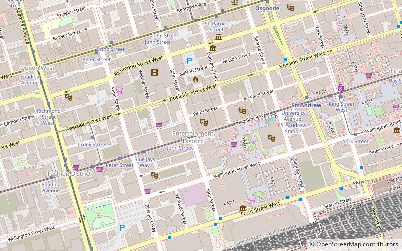
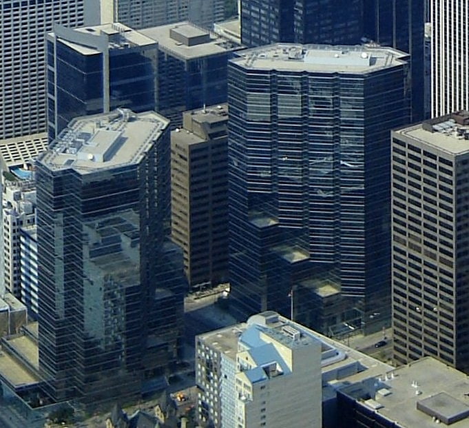
Mirvish+Gehry is a planned two-tower mixed-use building complex in Toronto, Ontario, Canada. The towers were designed by Frank Gehry in partnership with David Mirvish. The project is located on King Street West at Duncan Street in Toronto's Entertainment District. ()
Coordinates: 43°38'49"N, 79°23'22"W
Address
Downtown Toronto (Entertainment District)Toronto
ContactAdd
Social media
Add
Getting there by public transportation
Public transportation stops near this location
- Metro
- Bus
- Tram
- Train
- Ferry
 Metro
Metro
- Calculate routeJohn Street 2 min walk
- Calculate routeBlue Jays Way 4 min walk
- Calculate routePeter Street 5 min walk
- Calculate routeSt. Andrew 6 min walk
- Calculate routeOsgoode 8 min walk
- Calculate routeUnion 12 min walk
- Calculate routeSt. Patrick 14 min walk
- Calculate routeKing Street West 13 min walk
- Calculate routeAdelaide Street West 13 min walk
- Calculate routeQueen Street West 13 min walk
- Calculate routeToronto Union Station 13 min walk
- Calculate routeJack Layton Ferry Terminal 22 min walk
- Calculate routeBathurst Street Terminal 26 min walk
- Calculate routeBilly Bishop Terminal 27 min walk
Maps SubwayMaps
 Streetcar systemMaps
 PATH
PATH
SubwayMapsStreetcar systemMapsPATHDay trips


Frequently Asked Questions (FAQ)
Which popular attractions are close to Mirvish+Gehry?
Nearby attractions include Princess of Wales Theatre, Toronto (1 min walk), Film Reference Library, Toronto (2 min walk), John Street, Toronto (2 min walk), Metro Hall, Toronto (3 min walk).
How to get to Mirvish+Gehry by public transport?
The nearest stations to Mirvish+Gehry:
Tram
Metro
Bus
Train
Ferry
Tram
- John Street • Lines: 504A, 504B (2 min walk)
- Blue Jays Way • Lines: 504A, 504B (4 min walk)
Metro
- St. Andrew • Lines: 1 (6 min walk)
- Osgoode • Lines: 1 (8 min walk)
Bus
- King Street West • Lines: 19 (13 min walk)
- Adelaide Street West • Lines: 19 (13 min walk)
Train
- Toronto Union Station (13 min walk)
Ferry
- Jack Layton Ferry Terminal • Lines: Toronto Island Ferry, Ward's Island (22 min walk)
- Bathurst Street Terminal • Lines: Billy Bishop Airport Ferry (26 min walk)