Loyola, Montreal
Map
Facts and practical information
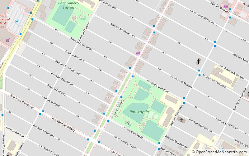
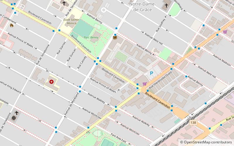
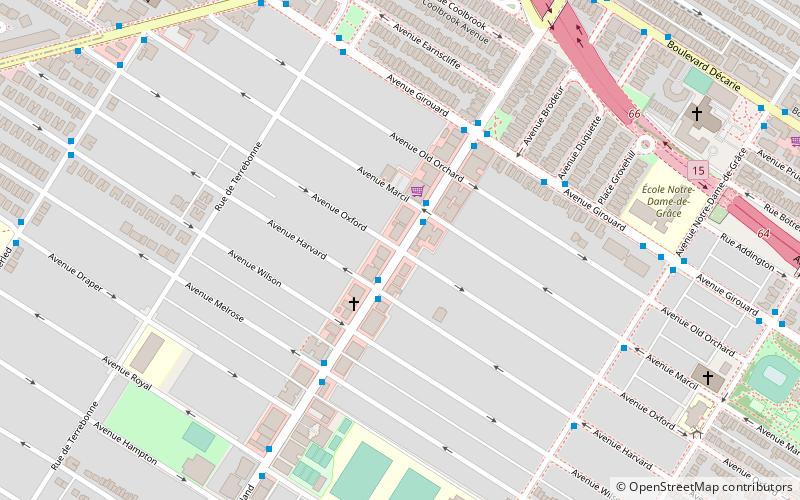
Loyola is a residential district of the Borough Côte-des-Neiges—Notre-Dame-de-Grâce within the City of Montreal, Quebec, Canada. It is one of five districts of the borough. In 2011, it had a population of 36,984 of which only 17% spoke French in the home. ()
Coordinates: 45°27'47"N, 73°38'49"W
Address
Côte-des-Neiges-Notre-Dame-de-Gráce (Loyola)Montreal
ContactAdd
Social media
Add
Getting there by public transportation
Public transportation stops near this location
- Bus
- Train
 Bus
Bus
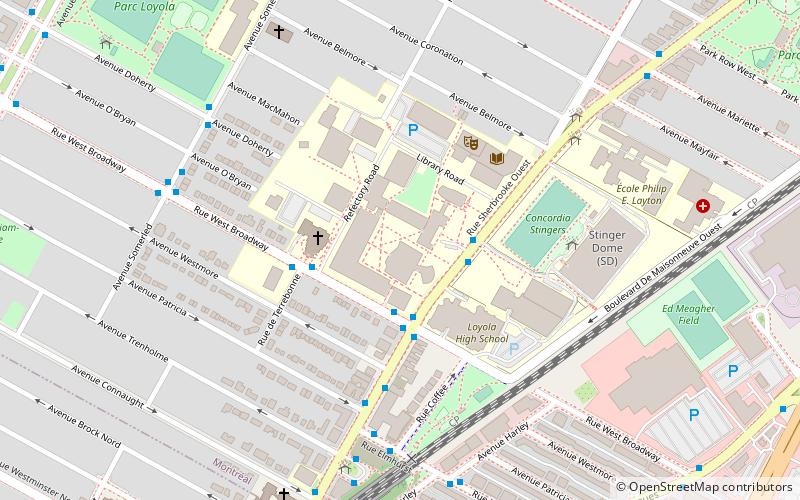
- Calculate routeFielding / Coronation 1 min walk
- Calculate routeMontreal West 18 min walk
Maps Metro
Metro
MetroDay trips


Frequently Asked Questions (FAQ)
Which popular attractions are close to Loyola?
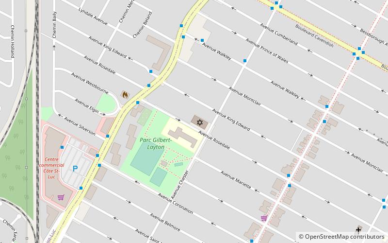
Nearby attractions include Shaare Zedek Congregation, Montreal (8 min walk), St. Ignatius of Loyola Church, Montreal (11 min walk), Côte-Saint-Luc Road, Montreal (17 min walk), Montreal West, Montreal (18 min walk).
How to get to Loyola by public transport?
The nearest stations to Loyola:
Bus
Train
Bus
- Fielding / Coronation • Lines: 51-E, 51-O (1 min walk)
Train
- Montreal West (18 min walk)