Monkland Village, Montreal
Map
Facts and practical information
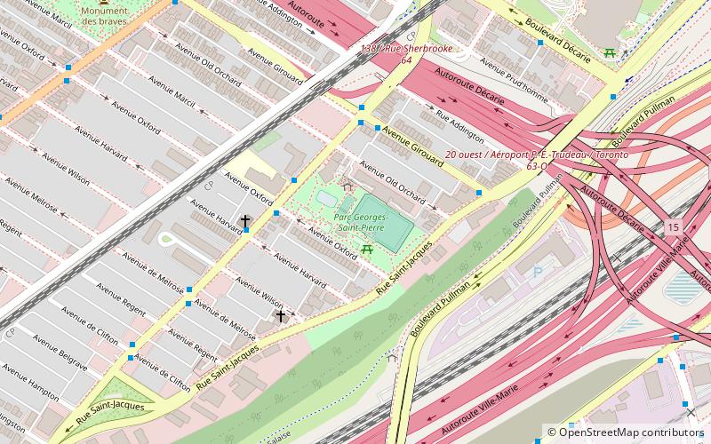
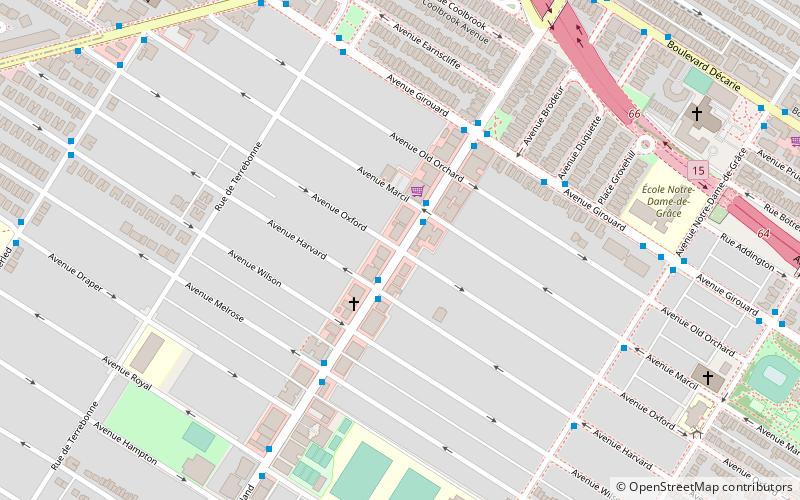
Monkland Village is a neighbourhood of the Notre-Dame-de-Grâce district in the Montreal borough of Côte-des-Neiges–Notre-Dame-de-Grâce. It is located between Grand Boulevard and the Décarie Expressway/Décarie Boulevard, and between Avenue Somerled and Chemin Côte-St-Antoine. The neighbourhood derives its name from Monkland Avenue, the commercial street at the heart of it. The Villa Maria metro station is located at the eastern end of Monkland Avenue. ()
Coordinates: 45°28'30"N, 73°37'24"W
Address
Côte-des-Neiges-Notre-Dame-de-Gráce (Notre-Dame-de-Grâce)Montreal
ContactAdd
Social media
Add
Day trips
Monkland Village – popular in the area (distance from the attraction)
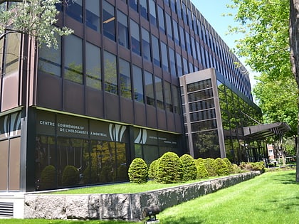
Nearby attractions include: Saint Joseph's Oratory, Lachine Canal, Oxford Park, Montreal Holocaust Memorial Centre.
Frequently Asked Questions (FAQ)
Which popular attractions are close to Monkland Village?
Nearby attractions include Côte-des-Neiges–Notre-Dame-de-Grâce, Montreal (6 min walk), Notre-Dame-de-Grâce, Montreal (12 min walk), Côte-des-Neiges, Montreal (12 min walk), Monument aux braves de N.D.G., Montreal (13 min walk).
How to get to Monkland Village by public transport?
The nearest stations to Monkland Village:
Bus
Metro
Train
Bus
- de Monkland / Harvard • Lines: 103-E, 103-O, 162-E, 162-O (2 min walk)
- de Monkland / Girouard • Lines: 103-E, 162-E (4 min walk)
Metro
- Villa-Maria • Lines: 2 (10 min walk)
- Snowdon • Lines: 2, 5 (22 min walk)
Train
- Vendôme (25 min walk)
 Metro
Metro

