Corso Italia-Davenport, Toronto
Map
Facts and practical information
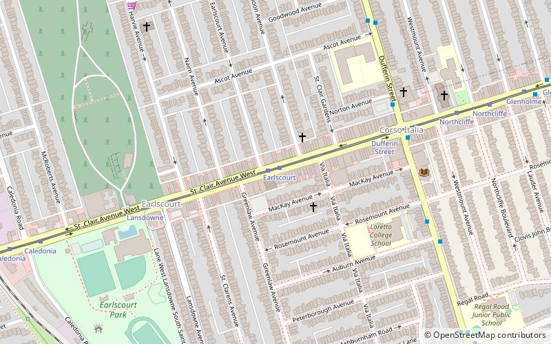
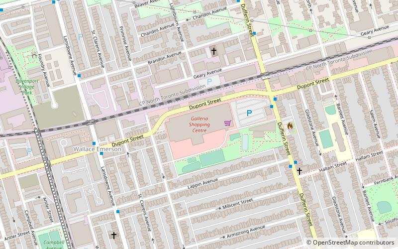
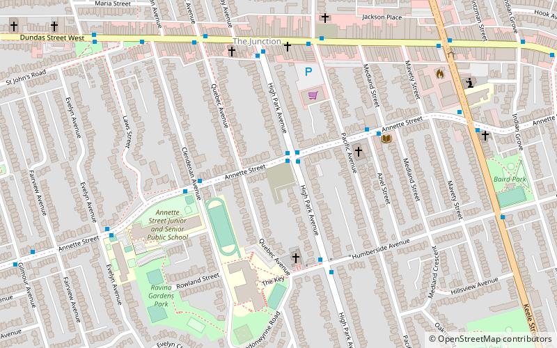
Corso Italia-Davenport is a neighbourhood in central Toronto, Ontario, Canada. Its boundaries, according to the City of Toronto, are the CNR tracks to the west, Morrison Avenue to the north, Westmount Avenue to the east on the northern portion and Oakwood Avenue to the east on the southern portion, and on the south by Davenport Road. Within this official neighbourhood of the City of Toronto are several neighbourhoods, Corso Italia, Davenport, Earlscourt, and Regal Heights. ()
Coordinates: 43°40'37"N, 79°26'49"W
Address
West End (Earlscourt)Toronto
ContactAdd
Social media
Add
Getting there by public transportation
Public transportation stops near this location
- Metro
- Bus
- Tram
 Metro
Metro
- Calculate routeEarlscourt 1 min walk
- Calculate routeLansdowne 5 min walk
- Calculate routeDufferin Street 6 min walk
- Calculate routeNorthcliffe 9 min walk
- Calculate routeDavenport Rd 11 min walk
- Calculate routeBrandon Ave 15 min walk
- Calculate routeRosemount Avenue 15 min walk
- Calculate routeSt. Clair Avenue West 15 min walk
- Calculate routeDufferin 33 min walk
- Calculate routeOssington 37 min walk
Maps SubwayMaps
 Streetcar systemMaps
 PATH
PATH
SubwayMapsStreetcar systemMapsPATHDay trips


Frequently Asked Questions (FAQ)
Which popular attractions are close to Corso Italia-Davenport?
Nearby attractions include Earlscourt, Toronto (5 min walk), Carleton Village, Toronto (14 min walk), Toronto Weston Flea Market, Toronto (23 min walk).
How to get to Corso Italia-Davenport by public transport?
The nearest stations to Corso Italia-Davenport:
Tram
Bus
Metro
Tram
- Earlscourt • Lines: 512 (1 min walk)
- Lansdowne • Lines: 512 (5 min walk)
Bus
- Davenport Rd • Lines: 47A (11 min walk)
- Brandon Ave • Lines: 47A (15 min walk)
Metro
- Dufferin • Lines: 2 (33 min walk)
- Ossington • Lines: 2 (37 min walk)