The Stockyards, Toronto
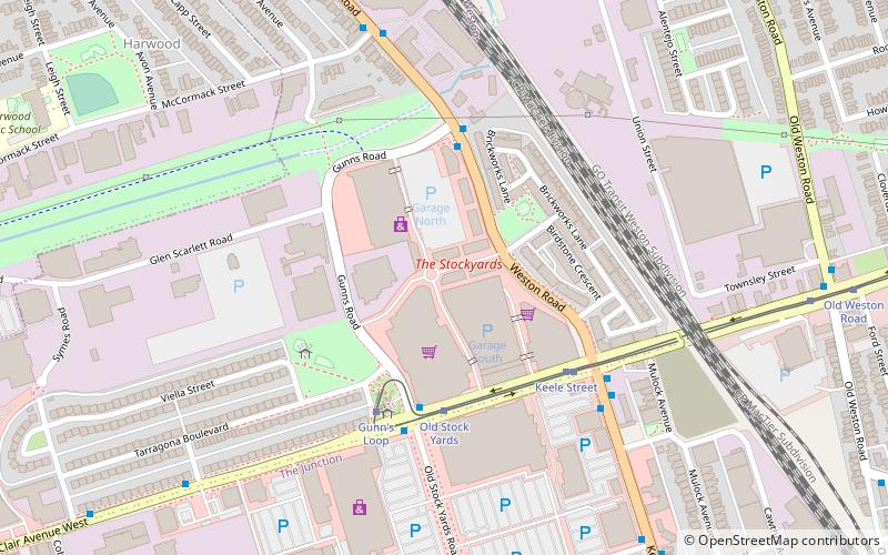
Map
Facts and practical information
Stock Yards Village is a shopping centre in The Junction neighbourhood of Toronto, Ontario, Canada. Located at Weston Road and St. Clair Avenue West. The mall was opened in March 2014 and is anchored by several major stores, including SportChek, Winners, and HomeSense. The mall formerly had a Target from March 2014 to April 2015, and the space was vacant from April 2015 to November 2017, when Nations Fresh Foods opened. ()
Coordinates: 43°40'26"N, 79°28'14"W
Getting there by public transportation
Public transportation stops near this location
- Metro
- Bus
- Tram
- Train
 Metro
Metro
- Calculate routeOld Stock Yards 4 min walk
- Calculate routeGunn's Loop 4 min walk
- Calculate routeKeele Street 4 min walk
- Calculate routeOld Weston Road 10 min walk
- Calculate routeKeele Street 15 min walk
- Calculate routeBicknell Avenue 15 min walk
- Calculate routeDundas Street West 16 min walk
- Calculate routeDundas West 38 min walk
- Calculate routeBloor 38 min walk
Maps SubwayMaps
 Streetcar systemMaps
 PATH
PATH
SubwayMapsStreetcar systemMapsPATHDay trips


Frequently Asked Questions (FAQ)
Which popular attractions are close to The Stockyards?
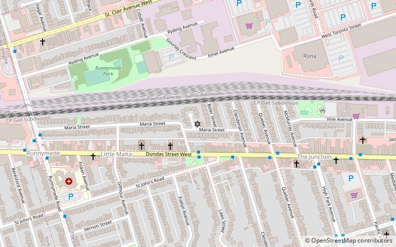
Nearby attractions include Toronto Weston Flea Market, Toronto (9 min walk), Congregation Knesseth Israel, Toronto (15 min walk), Runnymede Park, Toronto (15 min walk), Portuguese Seventh-day Adventist Church, Toronto (20 min walk).
How to get to The Stockyards by public transport?
The nearest stations to The Stockyards:
Tram
Bus
Metro
Train
Tram
- Old Stock Yards • Lines: 512 (4 min walk)
- Gunn's Loop • Lines: 512 (4 min walk)
Bus
- Keele Street • Lines: 161, 168 (15 min walk)
- Bicknell Avenue • Lines: 161, 168 (15 min walk)
Metro
- Dundas West • Lines: 2 (38 min walk)
Train
- Bloor (38 min walk)