Junction Triangle, Toronto

Facts and practical information
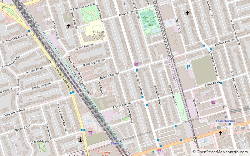
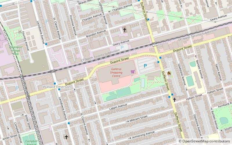
Junction Triangle is a neighbourhood in Toronto, Ontario, Canada. It is located in the city's west end, just west of Lansdowne Avenue. The area is a triangle surrounded on all three sides by railway lines: the CNR/CPR mainline to the west, Metrolinx GO Transit Barrie line to the east, and the CPR east-west railway lines to the north. Bloor Street cuts across the middle of the neighbourhood, Dupont Street runs close to the northern edge, and Dundas Street is close to the southern boundary. By some accounts, the recent residential developments of Davenport Village and Foundry Lofts, built on former factory lands north of the CP Rail line, west of Lansdowne, south of Davenport and east of the GO Transit Bradford/Newmarket/Barrie line, also belong in this neighbourhood. ()
West End (Junction Triangle)Toronto
- Metro
- Bus
- Tram
- Train
 Metro
Metro
- Calculate routeWallace Avenue 2 min walk
- Calculate routeErnest Avenue 3 min walk
- Calculate routePaton Road 4 min walk
- Calculate route55 Rankin Avenue 7 min walk
- Calculate routeBloor 6 min walk
- Calculate routeDundas West 8 min walk
- Calculate routeLansdowne 11 min walk
- Calculate routeKeele 16 min walk
- Calculate routeDufferin 19 min walk
- Calculate routeStop 8 min walk
- Calculate routeDundas West Station 9 min walk
- Calculate routeBloor Street West 9 min walk
- Calculate routeRoncesvalles Avenue 13 min walk
 SubwayMaps
 Streetcar systemMaps
 PATH
PATH


Frequently Asked Questions (FAQ)
Which popular attractions are close to Junction Triangle?
How to get to Junction Triangle by public transport?
Bus
- Wallace Avenue • Lines: 402 (2 min walk)
- Ernest Avenue • Lines: 402 (3 min walk)
Train
- Bloor (6 min walk)
Metro
- Dundas West • Lines: 2 (8 min walk)
- Lansdowne • Lines: 2 (11 min walk)
Tram
- Stop • Lines: 306 (8 min walk)
- Dundas West Station • Lines: 504A, 505 (9 min walk)