Arbutus Ridge, Vancouver
Map
Gallery
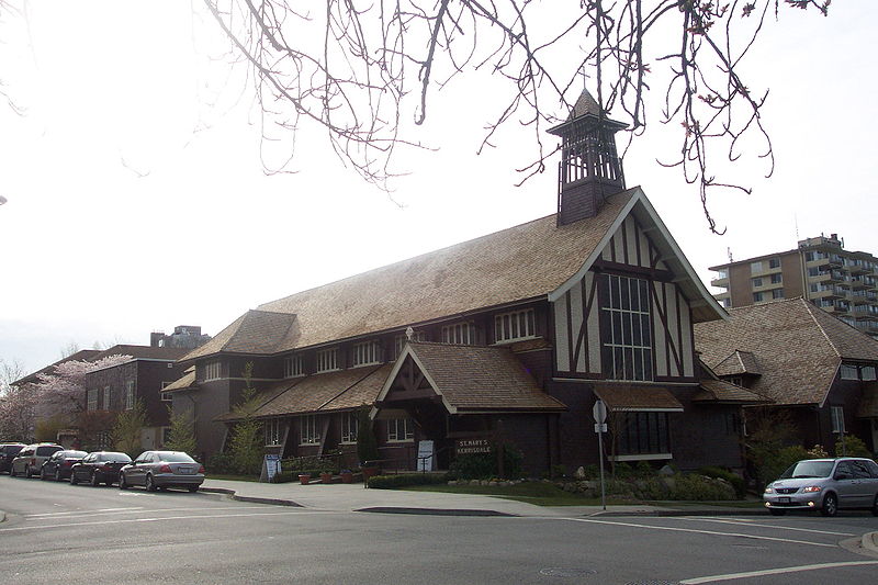
Facts and practical information
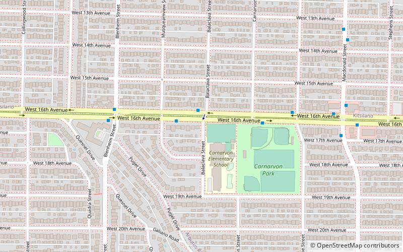
Arbutus Ridge is an affluent residential neighbourhood in Vancouver's West Side. It is bordered by 16th Avenue in the north, 41st Avenue in the south, Mackenzie Street in the west, and East Boulevard in the east. The neighbourhood is characterized by larger than average lot sizes, with stately homes on tree-lined streets. ()
Coordinates: 49°15'27"N, 123°10'28"W
Address
ArbutusVancouver
ContactAdd
Social media
Add
Day trips
Arbutus Ridge – popular in the area (distance from the attraction)
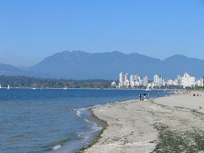
Nearby attractions include: Hastings Mill Park, Kits Beach, Kitsilano, Canadian Memorial United Church and Centre For Peace.
Frequently Asked Questions (FAQ)
Which popular attractions are close to Arbutus Ridge?
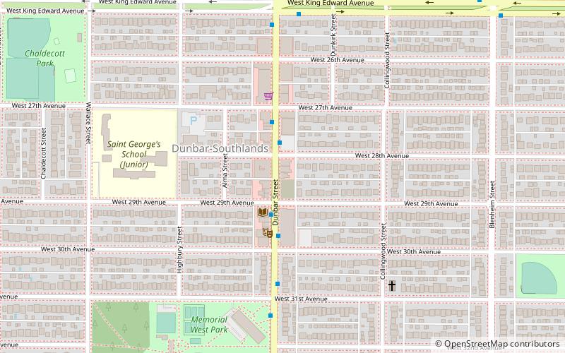
Nearby attractions include Dunbar–Southlands, Vancouver (18 min walk), Kitsilano, Vancouver (19 min walk), Dunbar Street, Vancouver (23 min walk).
How to get to Arbutus Ridge by public transport?
The nearest stations to Arbutus Ridge:
Bus
Trolleybus
Bus
- West 16th Ave at Balaclava St • Lines: 2, 33 (1 min walk)
- West 16th Ave at Blenheim St • Lines: 33 (5 min walk)
Trolleybus
- Dunbar St at West 15th Ave • Lines: 7 (12 min walk)
- West Broadway at Balaclava St • Lines: 14, 9 (12 min walk)

 SkyTrain
