Dunbar–Southlands, Vancouver
Map

Map

Facts and practical information
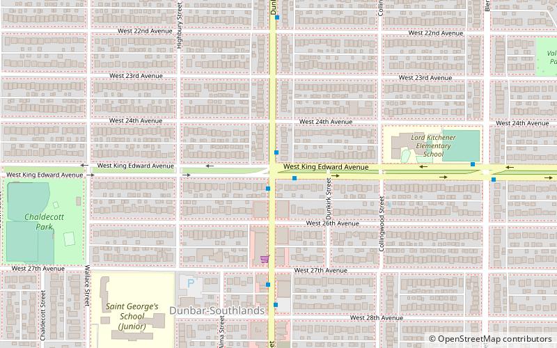
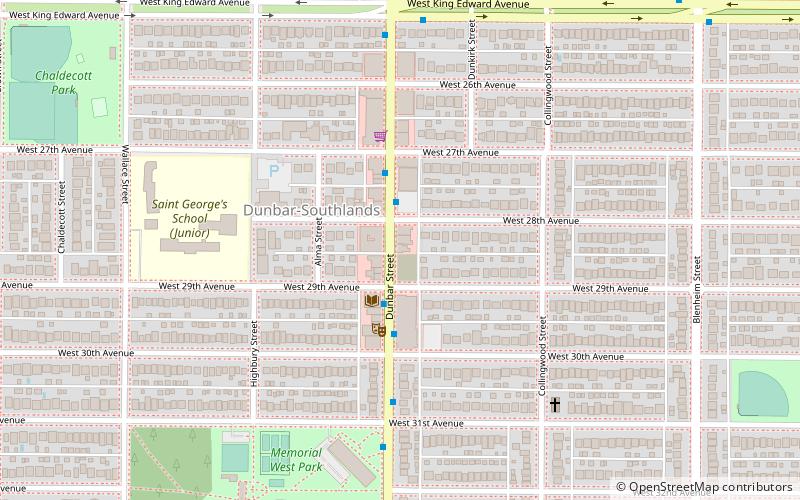
Dunbar–Southlands is a neighbourhood on the western side of Vancouver, British Columbia, Canada, that stretches north from the Fraser River and covers most of the land between the mouth of the Fraser and English Bay. ()
Coordinates: 49°15'0"N, 123°11'6"W
Address
DunbarVancouver
ContactAdd
Social media
Add
Day trips
Dunbar–Southlands – popular in the area (distance from the attraction)
Nearby attractions include: Kitsilano, West Point Grey, Arbutus Ridge, Dunbar Street.
Frequently Asked Questions (FAQ)
Which popular attractions are close to Dunbar–Southlands?
Nearby attractions include Dunbar Street, Vancouver (6 min walk), Arbutus Ridge, Vancouver (18 min walk).
How to get to Dunbar–Southlands by public transport?
The nearest stations to Dunbar–Southlands:
Bus
Trolleybus
Bus
- Dunbar St at West King Edward Ave • Lines: 25 (1 min walk)
- West King Edward Ave at Dunbar St • Lines: 25 (1 min walk)
Trolleybus
- Dunbar St at West King Edward Ave • Lines: 7 (1 min walk)

 SkyTrain


