Fort Whyte, Winnipeg
Map
Facts and practical information
Fort Whyte is a provincial electoral division in the Canadian province of Manitoba. It was created in 1999, after the provincial electoral boundaries commission determined that southwestern Winnipeg had experienced enough population growth to deserve an extra seat. Fort Whyte was created from territory formerly belonging to Tuxedo, Fort Garry and St. Norbert. ()
Coordinates: 49°49'48"N, 97°11'49"W
Address
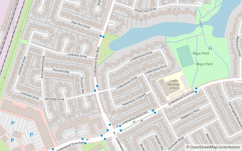
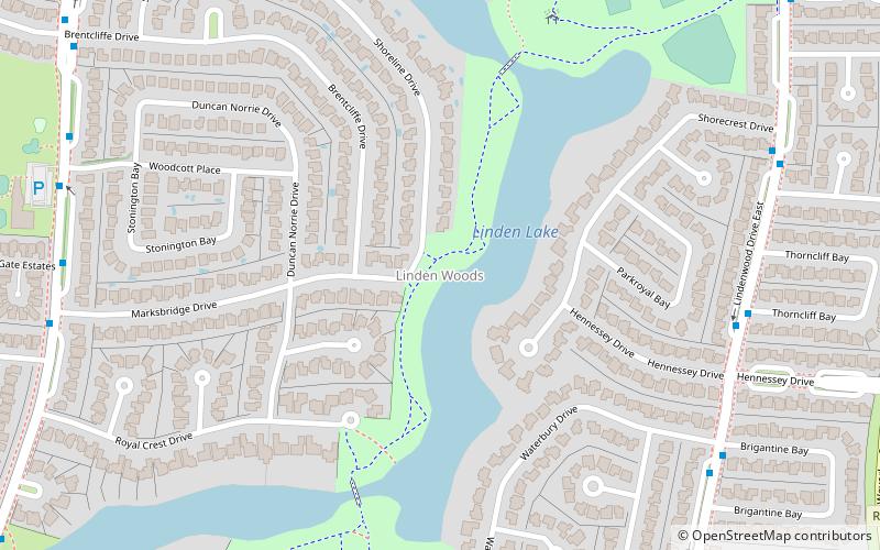
Fort Garry (Linden Woods)Winnipeg
ContactAdd
Social media
Add
Getting there by public transportation
Public transportation stops near this location
- Bus
 Bus
Bus
- Calculate routeNorthbound Lindenwood at Lindenshore 3 min walk
- Calculate routeSouthbound Lindenwood at Deer Run 4 min walk
Day trips


Frequently Asked Questions (FAQ)
How to get to Fort Whyte by public transport?
The nearest stations to Fort Whyte:
Bus
Bus
- Northbound Lindenwood at Lindenshore • Lines: 641 (3 min walk)
- Southbound Lindenwood at Deer Run • Lines: 641 (4 min walk)