Whyte Ridge, Winnipeg
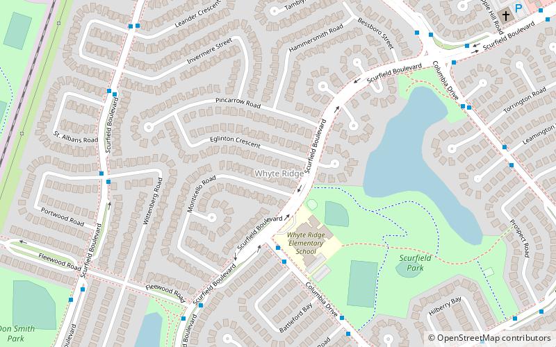
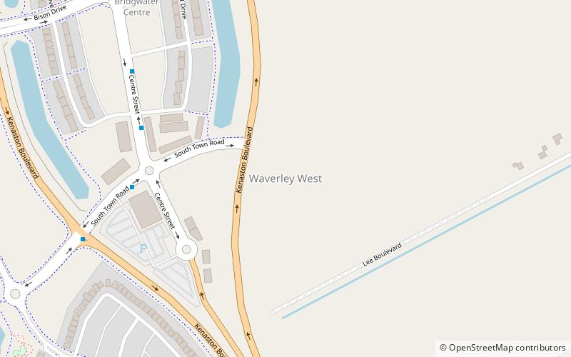
Map
Facts and practical information
Coordinates: 49°48'44"N, 97°12'22"W
Address
Fort Garry (Whyte Ridge)Winnipeg
ContactAdd
Social media
Add
Getting there by public transportation
Public transportation stops near this location
- Bus
 Bus
Bus
- Calculate routeWestbound Columbia at Scurfield 3 min walk
- Calculate routeEastbound Columbia at Battleford 4 min walk
Day trips


Frequently Asked Questions (FAQ)
How to get to Whyte Ridge by public transport?
The nearest stations to Whyte Ridge:
Bus
Bus
- Westbound Columbia at Scurfield • Lines: 650 (3 min walk)
- Eastbound Columbia at Battleford • Lines: 649, 691 (4 min walk)