Trek Zone

Cannell, Edmonton

#263 among attractions in Edmonton

Neighbourhood
Cannell location map
Map

Facts and practical information

Coordinates: 53°35'46"N, 113°37'12"W
Address

Northwest EdmontonEdmonton Canada

ContactAdd
Social media
Add
Day trips

Cannell – popular in the area (distance from the attraction)

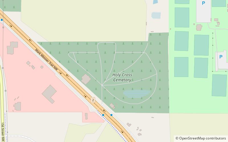
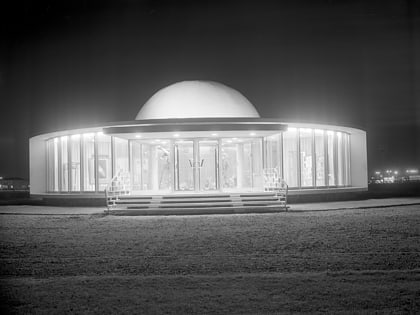
Nearby attractions include: Telus World of Science, St. Albert Grain Elevator Park, Holy Cross Cemetery, Queen Elizabeth Planetarium.

  • telus world of science edmonton3.3 miSE
  • st albert grain elevator park2.7 miN
  • holy cross cemetery edmonton location map
    1.8 miNE
  • queen elizabeth planetarium edmonton3.4 miSE
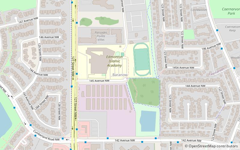
  • baranow edmonton location map
    3.4 miE
  • pintail landing edmonton location map
    2.7 miSW
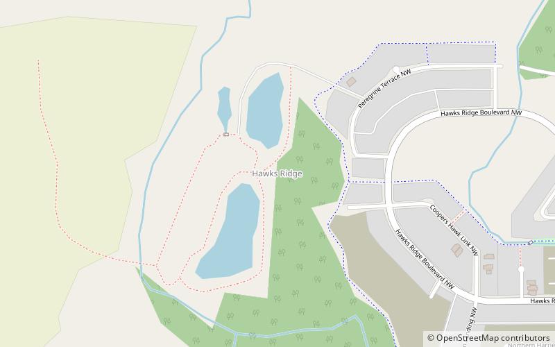
  • hawks ridge edmonton location map
    3.4 miW
  • century casino st albert st albert3.3 miNE
  • woodcroft edmonton3.2 miSE
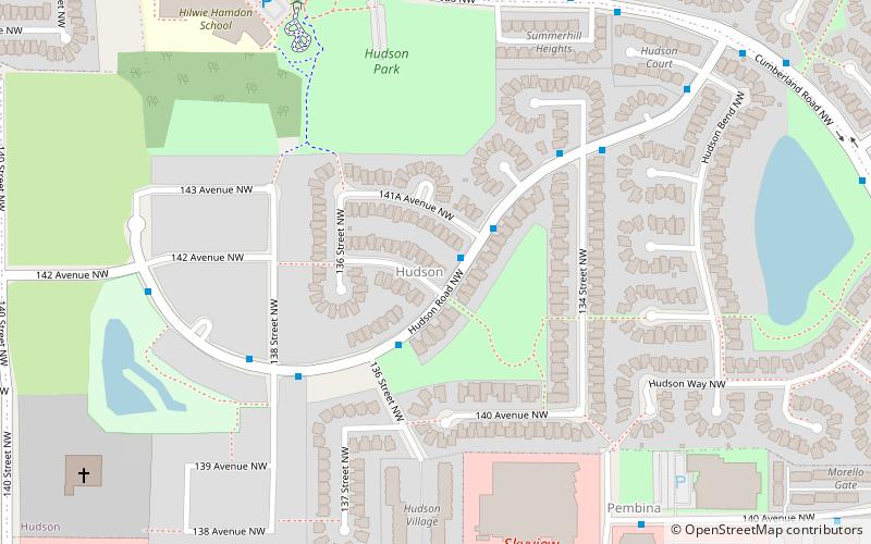
  • hudson edmonton location map
    2.8 miE
  • dovercourt edmonton2.9 miSE

Frequently Asked Questions (FAQ)

How to get to Cannell by public transport?

The nearest stations to Cannell:

Bus
  • 170 Street & 135 Ave • Lines: 137 (6 min walk)
  • 137 Ave & 170 Street • Lines: 137 (9 min walk)
Where to next? Visit alberta Alberta region page or discover the top tourist attractions in Canada.