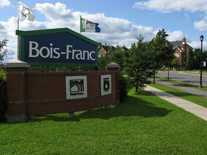
Bois-Franc, Montreal

Gallery (2)
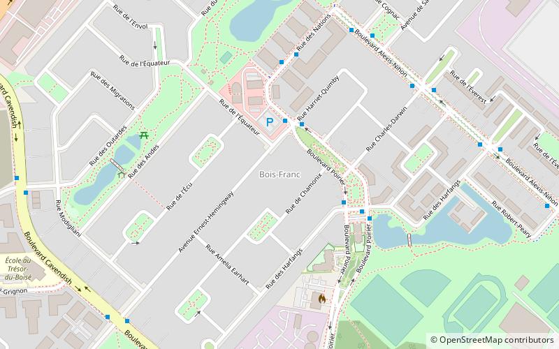
Map
Map
Gallery
Facts and practical information
Bois-Franc is a residential neighbourhood in the borough of Saint-Laurent in Montreal that was designed by the architect Louis Sauer. ()
Coordinates: 45°30'40"N, 73°42'39"W
Address
Saint-Laurent (Bois-Franc)Montreal
ContactAdd
Social media
Add
Getting there by public transportation
Public transportation stops near this location
- Bus
 Bus
Bus
- Calculate routedes Nations / Harriet-Quimby 3 min walk
- Calculate routePoirier / Harriet-Quimby 3 min walk
- Calculate routePoirier / des Harfangs 4 min walk
Maps Metro
Metro
MetroDay trips


Frequently Asked Questions (FAQ)
How to get to Bois-Franc by public transport?
The nearest stations to Bois-Franc:
Bus
Bus
- des Nations / Harriet-Quimby • Lines: 70-O (3 min walk)
- Poirier / Harriet-Quimby • Lines: 70-E (3 min walk)