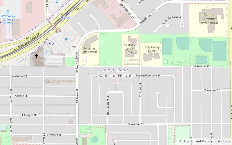
Radisson Heights, Calgary

Gallery (1)
Map
Map
Facts and practical information
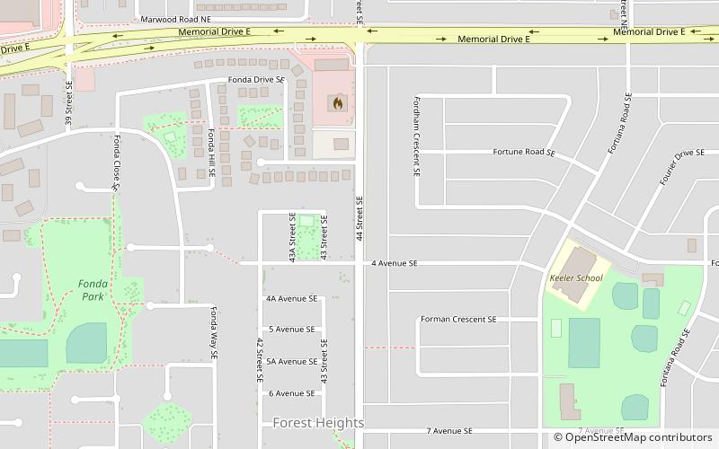
Albert Park/Radisson Heights is a residential neighbourhood in the southeast quadrant of Calgary, Alberta. It is bounded to the west by the Bow River and Deerfoot Trail, to the north by Memorial Drive and to the south by 17 Avenue SE. The community of Forest Lawn lies to the east. ()
Area: 0.66 mi²Coordinates: 51°2'41"N, 113°59'25"W
Address
Southeast Calgary (Radisson Heights)Calgary
ContactAdd
Social media
Add
Getting there by public transportation
Public transportation stops near this location
- Bus
- Light rail
 Bus
Bus
- Calculate routeFranklin 7 min walk
- Calculate routeBarlow/Max Bell 19 min walk
- Calculate routeMarlborough 26 min walk
- Calculate routeBarlow / Max Bell 18 min walk
Day trips


Frequently Asked Questions (FAQ)
Which popular attractions are close to Radisson Heights?
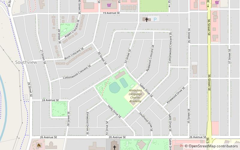
Nearby attractions include Southview, Calgary (21 min walk), Forest Lawn, Calgary (24 min walk).
How to get to Radisson Heights by public transport?
The nearest stations to Radisson Heights:
Light rail
Bus
Light rail
- Franklin • Lines: 202 (7 min walk)
- Barlow/Max Bell • Lines: 202 (19 min walk)
Bus
- Barlow / Max Bell (18 min walk)