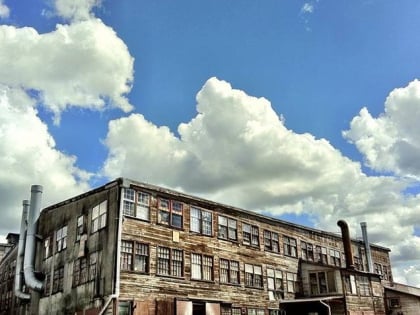
Grandview–Woodland, Vancouver
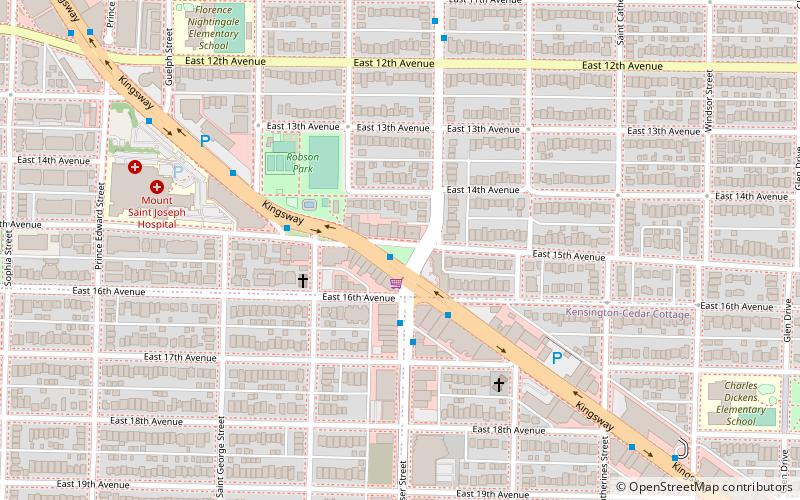
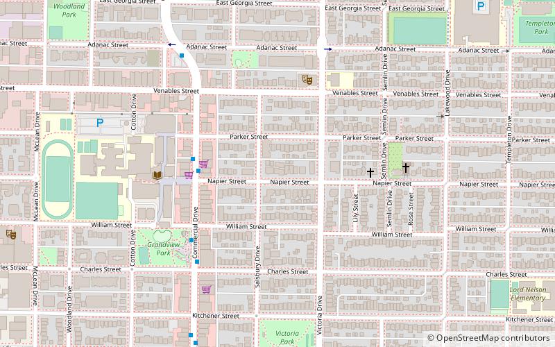
Map
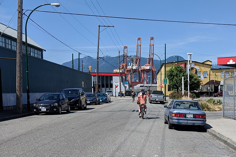
Gallery
Facts and practical information
Grandview–Woodland, also commonly known as Grandview–Woodlands, is a neighbourhood in Vancouver, British Columbia, Canada to the east of the downtown area, stretching south from the shores of Burrard Inlet and encompassing portions of the popular Commercial Drive area. It is a mature neighbourhood in Vancouver that is a vibrant mixture of commercial, industrial, single-family and multi-family residential with a rich ethnic history and features. ()
Coordinates: 49°16'30"N, 123°4'1"W
Address
Grandview-WoodlandVancouver
ContactAdd
Social media
Add
Day trips
Grandview–Woodland – popular in the area (distance from the attraction)
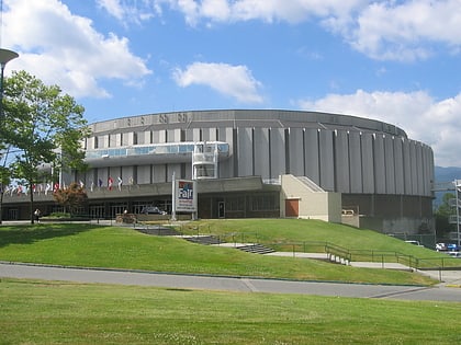
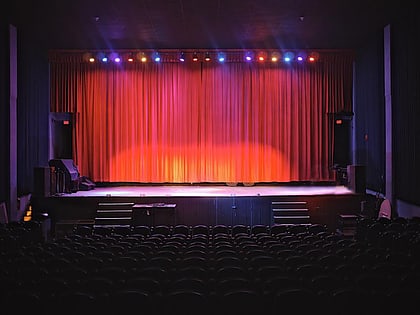
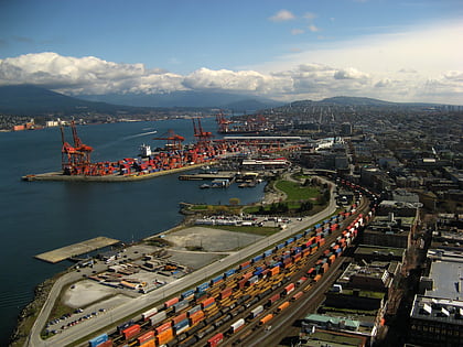
Nearby attractions include: Pacific Coliseum, PNE Forum, Rio Theatre, Centerm.
Frequently Asked Questions (FAQ)
Which popular attractions are close to Grandview–Woodland?
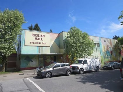
Nearby attractions include Little Italy, Vancouver (11 min walk), Storm Brewing, Vancouver (13 min walk), 1000 Parker Street Studios, Vancouver (15 min walk), Russian Hall, Vancouver (22 min walk).
How to get to Grandview–Woodland by public transport?
The nearest stations to Grandview–Woodland:
Trolleybus
Bus
Metro
Train
Trolleybus
- Commercial Drive at Napier St • Lines: 20 (3 min walk)
Bus
- East Hastings Street at Commercial Drive • Lines: R5 (12 min walk)
- Clark Drive at William Street • Lines: 22 (12 min walk)
Metro
- VCC-Clark • Lines: Millennium Line (22 min walk)
- Commercial–Broadway • Lines: Expo Line, Millennium Line (23 min walk)
Train
- Vancouver (25 min walk)

 SkyTrain