Lambton, Toronto
Map
Gallery
Facts and practical information
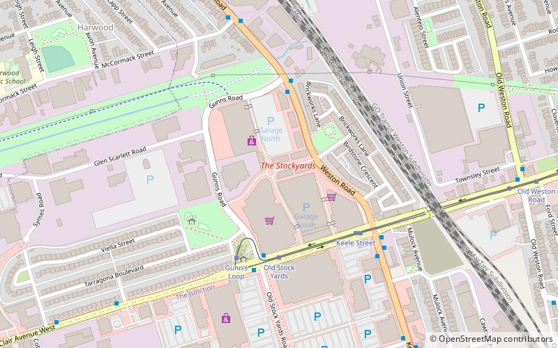
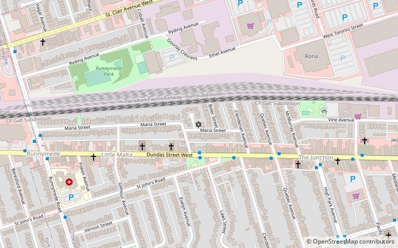
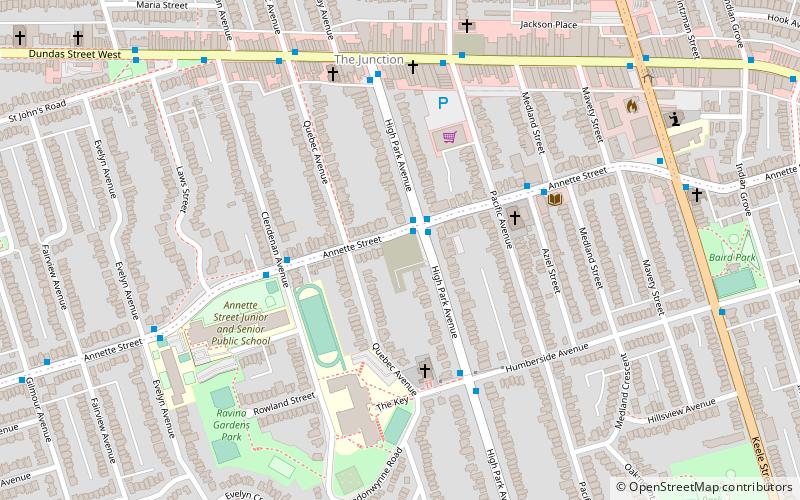
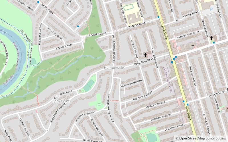
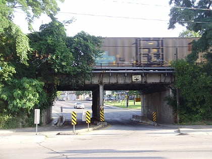
Lambton is a neighbourhood in the city of Toronto, Ontario, Canada. It is situated on the east bank of the Humber River north and south of Dundas Street West. It is bounded on the north by Black Creek, on the east by Jane Street and on the south by St. Mark's Road. The area west of Gooch Road is also known as "Warren Park", the name of the housing sub-division built in the 1950s. The portion south of Dundas Street is within the 'Lambton Baby Point' neighbourhood as defined by the City of Toronto. ()
Coordinates: 43°39'27"N, 79°29'33"W
Address
York (Baby Point)Toronto
ContactAdd
Social media
Add
Day trips
Lambton – popular in the area (distance from the attraction)
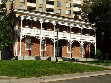
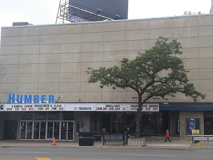
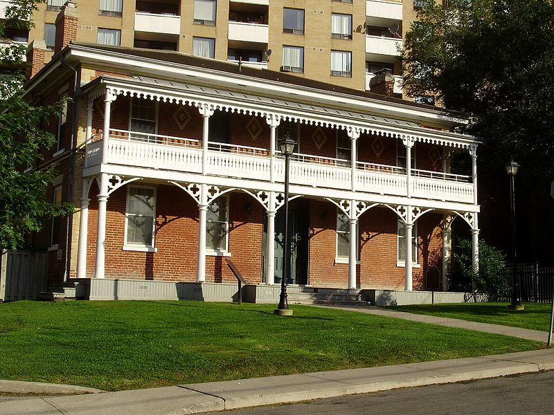
Nearby attractions include: James Gardens, Runnymede United Church, Lambton House, Runnymede Theatre.
Frequently Asked Questions (FAQ)
Which popular attractions are close to Lambton?
Nearby attractions include Étienne Brûlé Park, Toronto (11 min walk), Runnymede United Church, Toronto (17 min walk), Lambton House, Toronto (18 min walk), Park Lawn Cemetery, Toronto (23 min walk).
How to get to Lambton by public transport?
The nearest stations to Lambton:
Metro
Bus
Tram
Metro
- Old Mill • Lines: 2 (14 min walk)
- Jane • Lines: 2 (18 min walk)
Bus
- Jane (18 min walk)
- Runnymede Loop • Lines: 30, 30B (20 min walk)
Tram
- Gunn's Loop • Lines: 512 (37 min walk)
- Old Stock Yards • Lines: 512 (38 min walk)
 Subway
 Streetcar system
 PATH
PATH
