Mount Mangin, Height of the Rockies Provincial Park
#6 among attractions in Height of the Rockies Provincial Park
Facts and practical information
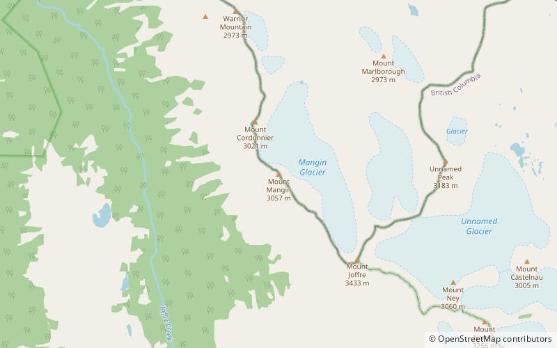
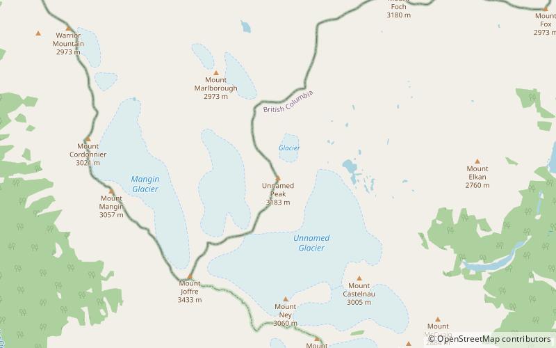
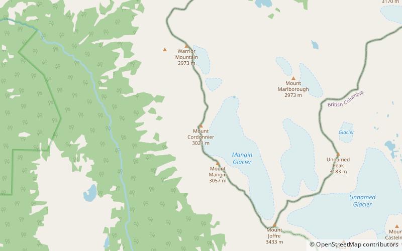
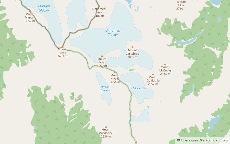
Mount Mangin is located on the border of Alberta and British Columbia on the Continental Divide. It was named in 1918 after French general Charles Mangin. ()
Height of the Rockies Provincial Park Canada
Mount Mangin – popular in the area (distance from the attraction)
Nearby attractions include: Mount Sarrail, Warrior Mountain, Upper Kananaskis Lake, Mount Lyautey.
 Mountain
Mount Sarrail
96 min walk • Mount Sarrail is a 3,159-metre mountain summit located in Kananaskis Country in the Canadian Rockies of Alberta, Canada. Mount Sarrail is situated 1.0 kilometre north of the Continental Divide, within Peter Lougheed Provincial Park.
 Mountain
Warrior Mountain, Height of the Rockies Provincial Park
47 min walk • Warrior Mountain is located on the border of Alberta and British Columbia on the Continental Divide. It was named in 1917 after HMS Warrior. The first ascent of the mountain was made in 1930 by Kate Gardiner and Walter Feuz. The duo also made the first ascents of nearby Mount Sarrail and Mount Lyautey that same year.
 Nature, Natural attraction, Lake
Upper Kananaskis Lake
157 min walk • Upper Kananaskis Lake is a natural lake that was turned into a reservoir in Kananaskis Country in Alberta, Canada. Upper Kananaskis Lake, along with the Lower Kananaskis Lake, is located in Peter Lougheed Provincial Park.
 Mountain
Mount Lyautey
109 min walk • Mount Lyautey is a 3,045-metre mountain summit located in Kananaskis Country in the Canadian Rockies of Alberta, Canada. Mount Lyautey is situated 2.0 kilometres east of the Continental Divide, within Peter Lougheed Provincial Park.
 Lake
LakeElk Lakes, Elk Lakes Provincial Park
142 min walk • Upper Elk Lake and Lower Elk Lake, collectively known as the Elk Lakes, are a pair of alpine lakes in southeastern British Columbia, Canada. They sit in the valley formed between Mt Aosta to the south and Mount Fox to the north.
 Nature, Natural attraction, Mountain
Mount Northover
84 min walk • Mount Northover is located on the border of Alberta and British Columbia on the Continental Divide. The nearest higher peak is Mount Lyautey, 2.0 km to the north-northeast. It was named in 1917 after Lieutenant A.W. Northover, M.C. of the C.E.F. one of western Canada's first war heroes.
 Nature, Natural attraction, Mountain
Mount Foch
97 min walk • Mount Foch is a 3,194-metre mountain summit located on the border of Alberta and British Columbia on the Continental Divide. It was named in 1918 after Marshall Ferdinand Foch.
 Mountain
Mount Pétain, Elk Lakes Provincial Park
47 min walk • Mount Pétain is located on the border of Alberta and British Columbia on the Continental Divide. It was named in 1918 after the then-to-be Nazi-collaborator, Marshal Philippe Pétain, who was then an honoured war hero for the Allies of World War I.
 Mountain
Mount Cordonnier
16 min walk • Mount Cordonnier is located on the border of Alberta and British Columbia on the Continental Divide. It was named in 1918 after General Victor Louis Emilien Cordonnier.
 Mountain
Defender Mountain, Height of the Rockies Provincial Park
127 min walk • Defender Mountain is located on the border of Alberta and British Columbia on the Continental Divide.
 Mountain
Mount Nivelle, Height of the Rockies Provincial Park
70 min walk • Mount Nivelle is a mountain located at the NW end of Elk Lakes Provincial Park in British Columbia, Canada. It was named in 1918 after Marshal Robert Nivelle, and is one of the series of mountains there named after French generals of the First World War, including Cordonnier, Foch, Joffre, Mangin, Sarrail, and Pétain.