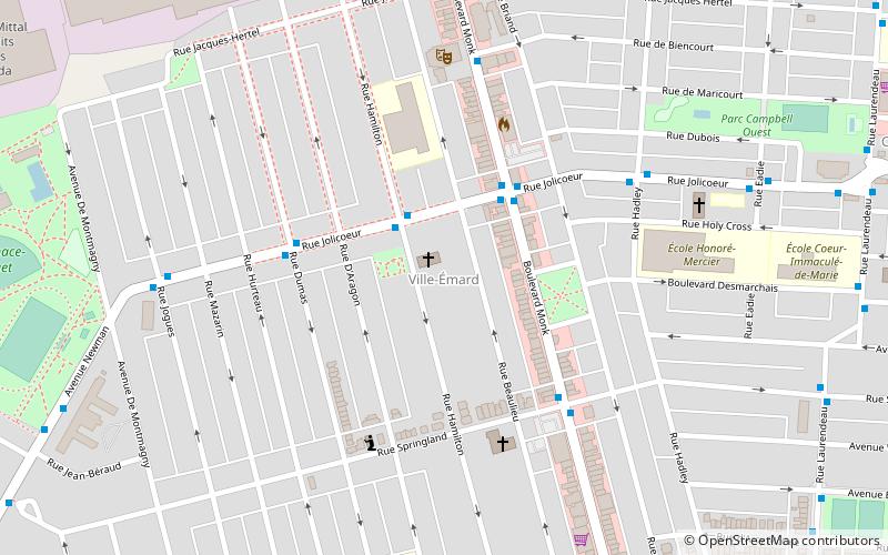
LaSalle—Émard, Montreal
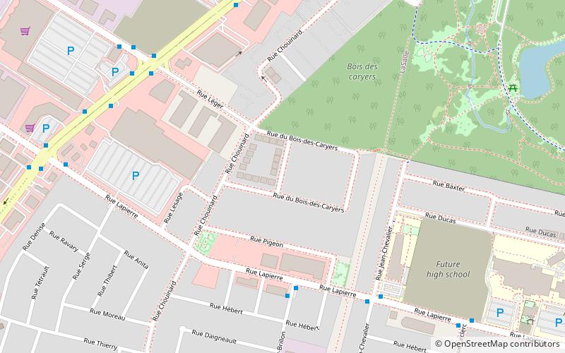
Map
Facts and practical information
LaSalle—Émard was a federal electoral district in the Canadian province of Quebec that was represented in the House of Commons of Canada from 1988 to 2015. Its population in 2001 was 99,767. The MP from 1988 to 2008 was Paul Martin, who served as prime minister of Canada from 2003 to 2006. As part of redistribution begun in 2012 the riding is now known by its current name and boundaries of LaSalle—Émard—Verdun while the southwestern portion joined the new riding of Dorval—Lachine—LaSalle. ()
Coordinates: 45°26'20"N, 73°36'54"W
Address
LaSalleMontreal
ContactAdd
Social media
Add
Getting there by public transportation
Public transportation stops near this location
- Metro
- Bus
 Metro
Metro
- Calculate routeJean-Brillon / Lapierre 5 min walk
- Calculate routeLapierre / Jean-Chevalier 6 min walk
- Calculate routeboul. Newman / rue Léger 7 min walk
- Calculate routeNewman / Léger 7 min walk
- Calculate routeAngrignon 19 min walk
- Calculate routeMonk 35 min walk
Maps Metro
Metro
MetroDay trips


Frequently Asked Questions (FAQ)
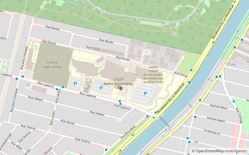
Which popular attractions are close to LaSalle—Émard?
Nearby attractions include Centre de documentation collégiale, Montreal (14 min walk), Angrignon Park, Montreal (16 min walk), Canal de l'Aqueduc, Montreal (23 min walk).
How to get to LaSalle—Émard by public transport?
The nearest stations to LaSalle—Émard:
Bus
Metro
Bus
- Jean-Brillon / Lapierre • Lines: 113-E, 113-O (5 min walk)
- Lapierre / Jean-Chevalier • Lines: 113-E, 113-O (6 min walk)
Metro
- Angrignon • Lines: 1 (19 min walk)
- Monk • Lines: 1 (35 min walk)