Cliffcrest, Toronto
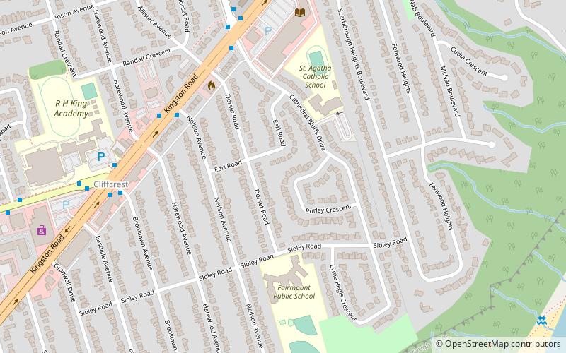
Map
Gallery

Facts and practical information
Cliffcrest is a residential neighborhood in Toronto, Ontario, Canada. It is located along the shores of Lake Ontario in the district of Scarborough, bordered by Midland Avenue to the west, the Canadian National Railway to the north, and Bellamy Road to the east. ()
Coordinates: 43°43'19"N, 79°13'52"W
Address
Scarborough (Cliffcrest)Toronto
ContactAdd
Social media
Add
Day trips
Cliffcrest – popular in the area (distance from the attraction)
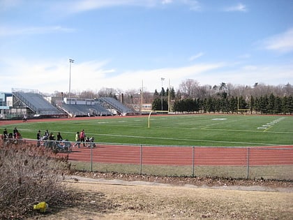
Nearby attractions include: Dentonia Park Golf Club, Cedarbrae Mall, Guild Park and Gardens, Birchmount Stadium.
Frequently Asked Questions (FAQ)
Which popular attractions are close to Cliffcrest?
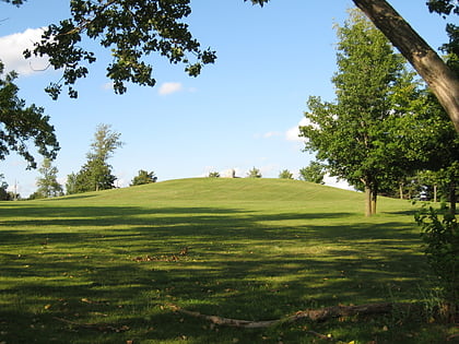
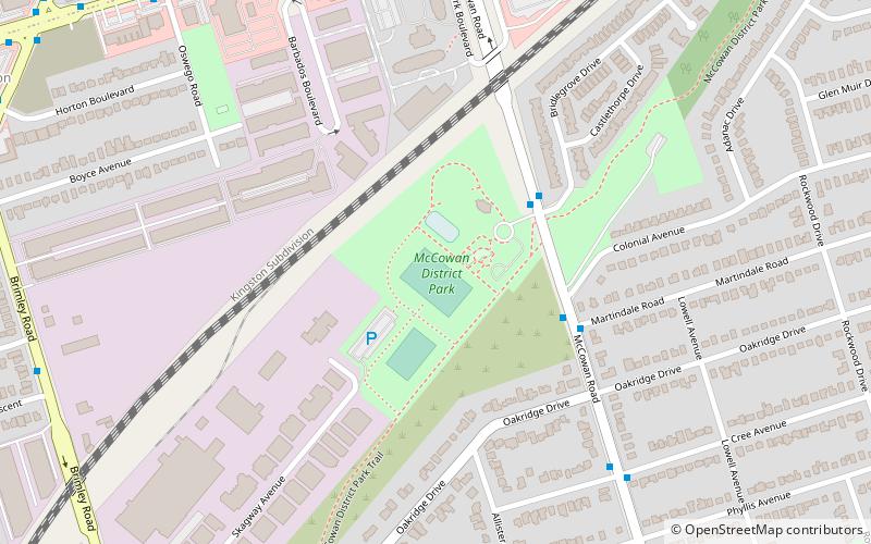
Nearby attractions include Scarborough Bluffs, Toronto (11 min walk), McCowan District Park, Toronto (23 min walk).
How to get to Cliffcrest by public transport?
The nearest stations to Cliffcrest:
Bus
Bus
- Gordonridge Place • Lines: 16 (30 min walk)
- Wolfe Avenue • Lines: 16 (30 min walk)

 Subway
 Streetcar system
 PATH
PATH


