Red-Light District, Montreal
Map

Gallery
Facts and practical information
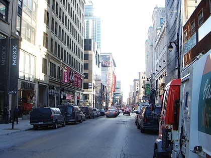
The Red-Light District of Montreal, Quebec, Canada was formerly centred on the intersection of Saint Laurent Boulevard and Saint Catherine Street in the borough of Ville-Marie. ()
Coordinates: 45°30'36"N, 73°33'50"W
Address
Ville-Marie District (Quartier Ville-Marie)Montreal
ContactAdd
Social media
Add
Day trips
Red-Light District – popular in the area (distance from the attraction)
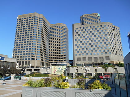
Nearby attractions include: St-Laurent, Saint Catherine Street, Musée d'art contemporain de Montréal, Complexe Desjardins.
Frequently Asked Questions (FAQ)
Which popular attractions are close to Red-Light District?
Nearby attractions include Artexte, Montreal (1 min walk), Club Soda, Montreal (1 min walk), Quartier des spectacles, Montreal (1 min walk), St-Laurent, Montreal (1 min walk).
How to get to Red-Light District by public transport?
The nearest stations to Red-Light District:
Bus
Metro
Train
Bus
- Saint-Laurent / Sainte-Catherine • Lines: 129-N, 55-N (1 min walk)
- Station Saint-Laurent / De Maisonneuve • Lines: 55-N (2 min walk)
Metro
- Saint-Laurent • Lines: 1 (3 min walk)
- Place-des-Arts • Lines: 1 (7 min walk)
Train
- Montreal Central Station (18 min walk)
- Lucien-L'Allier (30 min walk)

 Metro
Metro
