Central Valley Greenway, Burnaby
Map
Facts and practical information
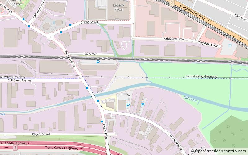
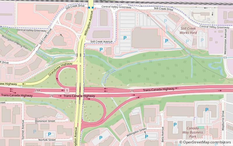
The Central Valley Greenway is a 24-kilometre pedestrian and cyclist route in Metro Vancouver, running from Science World in Vancouver to New Westminster, through Burnaby. The greenway officially opened on June 27, 2009, with opening celebrations, guided bike tours, and walking tours on sections of the route. Despite its official opening, some sections are complete on an interim basis and are anticipated to be upgraded in the future. ()
Coordinates: 49°15'39"N, 122°58'54"W
Address
Ardingley-SprottBurnaby
ContactAdd
Social media
Add
Getting there by public transportation
Public transportation stops near this location
- Metro
- Bus
 Metro
Metro
- Calculate routeDouglas Rd at Still Creek Ave 4 min walk
- Calculate routeGoring St at Douglas Rd 7 min walk
- Calculate routeHoldom Ave at Lougheed Hwy 7 min walk
- Calculate routeHoldom 7 min walk
- Calculate routeSperling–Burnaby Lake 21 min walk
- Calculate routeBrentwood Town Centre 25 min walk
Day trips


Frequently Asked Questions (FAQ)
Which popular attractions are close to Central Valley Greenway?
Nearby attractions include North Burnaby, Burnaby (11 min walk), Sullivan Heights, Burnaby (21 min walk), Parkcrest, Burnaby (21 min walk), Guichon Creek, Burnaby (23 min walk).
How to get to Central Valley Greenway by public transport?
The nearest stations to Central Valley Greenway:
Bus
Metro
Bus
- Douglas Rd at Still Creek Ave • Lines: 133 (4 min walk)
- Goring St at Douglas Rd • Lines: 133, 136 (7 min walk)
Metro
- Holdom • Lines: Millennium Line (7 min walk)
- Sperling–Burnaby Lake • Lines: Millennium Line (21 min walk)