Calgary-McCall, Calgary
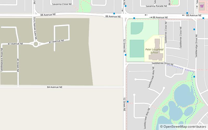
Map
Facts and practical information
Calgary-McCall is a provincial electoral district for the Legislative Assembly of Alberta, Canada. It was created in 1971, and was named after Frederick McCall and the McCall Industrial Park. As of the 2010 redistricting, the industrial park is no longer in the boundaries. ()
Coordinates: 51°7'48"N, 113°57'36"W
Address
Northeast Calgary (Saddle Ridge)Calgary
ContactAdd
Social media
Add
Day trips
Calgary-McCall – popular in the area (distance from the attraction)
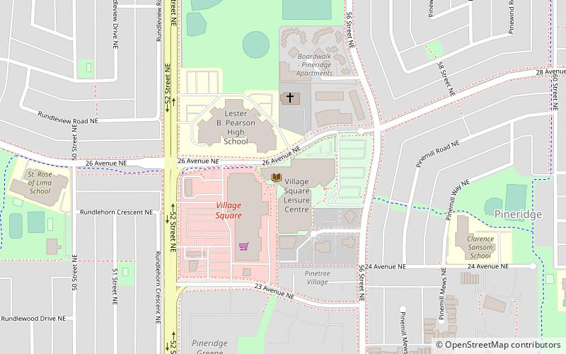
Nearby attractions include: Sunridge Mall, Deerfoot City, Village Square Leisure Centre, Baitun Nur Mosque.
Frequently Asked Questions (FAQ)
Which popular attractions are close to Calgary-McCall?
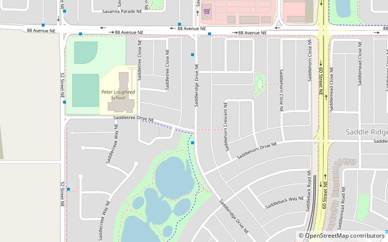
Nearby attractions include Saddle Ridge, Calgary (9 min walk), Martindale, Calgary (21 min walk).
How to get to Calgary-McCall by public transport?
The nearest stations to Calgary-McCall:
Light rail
Bus
Light rail
- Saddletowne • Lines: 202 (16 min walk)
- Martindale • Lines: 202 (24 min walk)
Bus
- Saddletowne LRT Station SB • Lines: 303 (16 min walk)
- Saddletowne Bus Terminal (16 min walk)


