Deer Ridge, Calgary
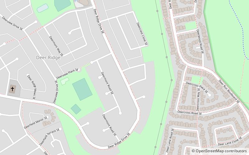
Map
Facts and practical information
Deer Ridge is a residential neighbourhood in the southeast quadrant of Calgary, Alberta. It is located in the Bow River valley, and is bounded to the north by Canyon Meadows Drive, to the east by Deercliff Road and the Bow River, to the south by Deerfield Circle and the community of Deer Run and to the west by Bow Bottom Trail. Fish Creek Provincial Park is located immediately east. ()
Area: 0.77 mi²Coordinates: 50°55'35"N, 114°0'51"W
Day trips
Deer Ridge – popular in the area (distance from the attraction)
Nearby attractions include: Trico Centre for Family Wellness, Southcentre Mall, Fish Creek Provincial Park, St. Patrick's Roman Catholic Church.


