Crescent Town, Toronto
Map
Map

Facts and practical information
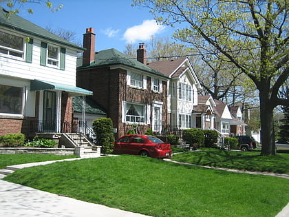
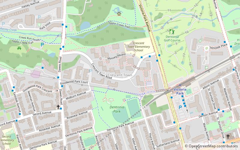
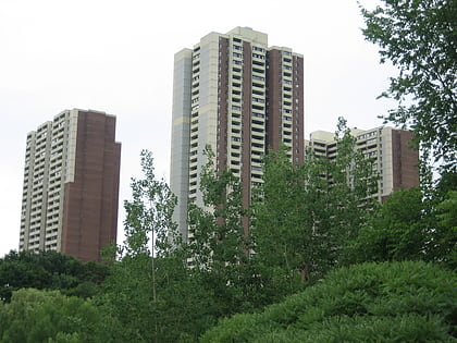
Crescent Town is a neighbourhood in Toronto, Ontario, Canada, in the former borough of East York. It is located near Victoria Park Avenue and Danforth Avenue. It mainly consists of high-rise apartment complexes, built originally to take advantage of the opening of the adjacent Victoria Park subway station, which connects to the central quadrangle via a partially covered walkway. ()
Coordinates: 43°41'43"N, 79°17'35"W
Address
East York (Old East York)Toronto
ContactAdd
Social media
Add
Day trips
Crescent Town – popular in the area (distance from the attraction)
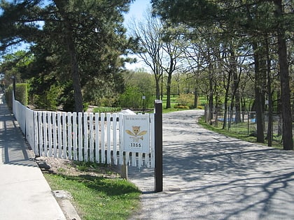
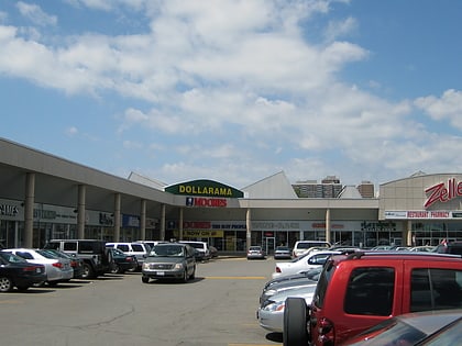
Nearby attractions include: Toronto Hunt Club, Dentonia Park Golf Club, Shoppers World Danforth, Bangladesh Canada Hindu Cultural Society.
Frequently Asked Questions (FAQ)
Which popular attractions are close to Crescent Town?
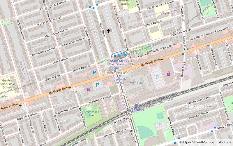
Nearby attractions include Main Square, Toronto (17 min walk), East Danforth, Toronto (17 min walk).
How to get to Crescent Town by public transport?
The nearest stations to Crescent Town:
Bus
Metro
Tram
Train
Bus
- Massey Square • Lines: 404 (3 min walk)
- Goodwood Park Court • Lines: 404 (6 min walk)
Metro
- Victoria Park • Lines: 2 (6 min walk)
- Main Street • Lines: 2 (16 min walk)
Tram
- Main Street Station • Lines: 306, 506 (16 min walk)
- Danforth Avenue • Lines: 306, 506 (17 min walk)
Train
- Danforth (19 min walk)
 Subway
 Streetcar system
 PATH
PATH