Old East York, Toronto
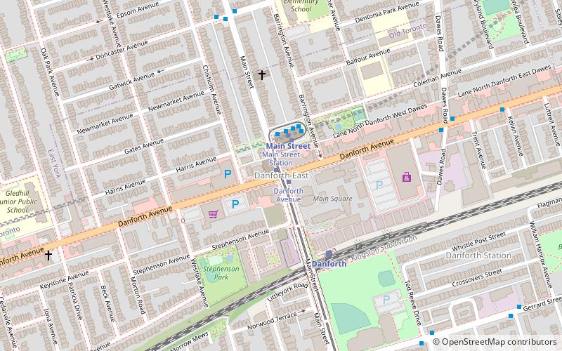
Map

Gallery

Facts and practical information
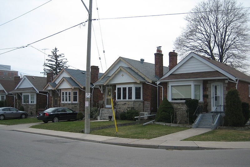
Old East York is a district of the city of Toronto, Ontario, Canada. It consists of the southern, urban, portion of the former borough of East York. Old East York is continuous and functionally integrated with the old City of Toronto, bounded by the old municipal boundary between East York and Old Toronto on the south, by the Don River Valley on the west and northwest, by Taylor-Massey Creek on the north, and Victoria Park Avenue in the east. ()
Coordinates: 43°41'36"N, 79°18'57"W
Address
East York (Old East York)Toronto
ContactAdd
Social media
Add
Day trips
Old East York – popular in the area (distance from the attraction)
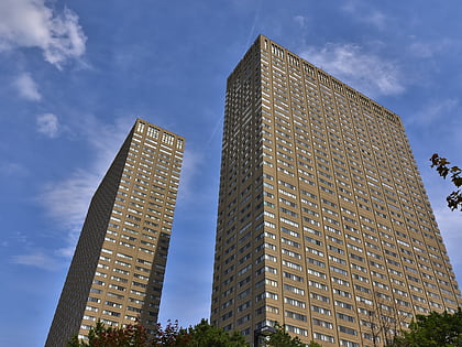
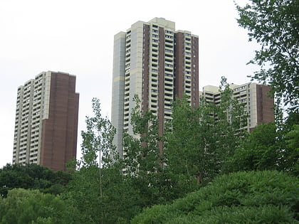
Nearby attractions include: Leaside Towers, Kempton Howard Park, Upper Beaches, East Danforth.
Frequently Asked Questions (FAQ)
Which popular attractions are close to Old East York?
Nearby attractions include East Danforth, Toronto (20 min walk), O'Connor–Parkview, Toronto (22 min walk), Main Square, Toronto (24 min walk).
How to get to Old East York by public transport?
The nearest stations to Old East York:
Bus
Metro
Tram
Train
Bus
- Mortimer Avenue • Lines: 404 (1 min walk)
- Lumsden Avenue • Lines: 91C, 91D (2 min walk)
Metro
- Woodbine • Lines: 2 (13 min walk)
- Coxwell • Lines: 2 (19 min walk)
Tram
- Main Street Station • Lines: 306, 506 (20 min walk)
- Danforth Avenue • Lines: 306, 506 (21 min walk)
Train
- Danforth (24 min walk)

 Subway
 Streetcar system
 PATH
PATH


