East Danforth, Toronto
Map
Facts and practical information
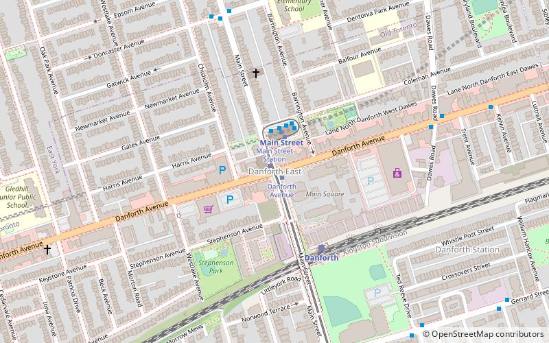
East Danforth, also known as Danforth Village, is a neighbourhood in the east end of Toronto, Ontario, Canada. It is located on the eastern part of Danforth Avenue in the old city of Toronto. It stretches from the eastern edge of Greektown by Greenwood Avenue to the boundary of Scarborough at Victoria Park Avenue. The area is covered by two business improvement associations, Danforth Village and Danforth Mosaic. To the north of the neighbourhood is Old East York, once a separate municipality, but today closely integrated into the area. The southern border is the railway tracks, beyond which is Leslieville and the Upper Beaches. According to the 2006 census the area has a population of 14,629. ()
Coordinates: 43°41'17"N, 79°18'7"W
Address
East End (East Danforth)Toronto
ContactAdd
Social media
Add
Getting there by public transportation
Public transportation stops near this location
- Metro
- Bus
- Tram
- Train
 Metro
Metro
- Calculate routeDanforth Avenue 1 min walk
- Calculate routeGerrard Street East 8 min walk
- Calculate routeMain Street 8 min walk
- Calculate routeMain Street 2 min walk
- Calculate routeWoodbine 15 min walk
- Calculate routeVictoria Park 21 min walk
- Calculate routeCoxwell 28 min walk
- Calculate routeMain Street Station 2 min walk
- Calculate routeGerrard Street East 8 min walk
- Calculate routeDanforth 4 min walk
Maps SubwayMaps
 Streetcar systemMaps
 PATH
PATH
SubwayMapsStreetcar systemMapsPATHDay trips


Frequently Asked Questions (FAQ)
Which popular attractions are close to East Danforth?
Nearby attractions include Main Square, Toronto (4 min walk), Crescent Town, Toronto (17 min walk), Old East York, Toronto (20 min walk), Upper Beaches, Toronto (21 min walk).
How to get to East Danforth by public transport?
The nearest stations to East Danforth:
Tram
Metro
Bus
Train
Tram
- Danforth Avenue • Lines: 306, 506 (1 min walk)
- Gerrard Street East • Lines: 306, 506 (8 min walk)
Metro
- Main Street • Lines: 2 (2 min walk)
- Woodbine • Lines: 2 (15 min walk)
Bus
- Main Street Station • Lines: 62 (2 min walk)
- Gerrard Street East • Lines: 135 (8 min walk)
Train
- Danforth (4 min walk)