Laval-Ouest, Laval
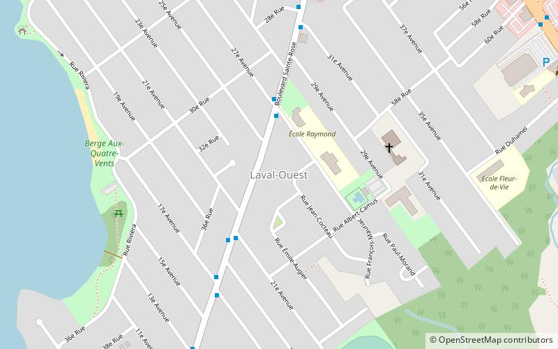
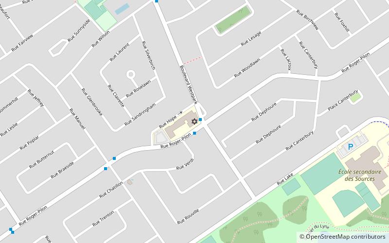
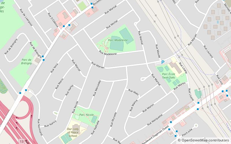
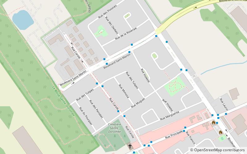
Map
Facts and practical information
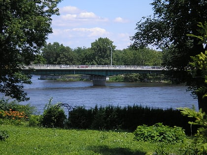
Laval-Ouest is a district in Laval, Quebec. It was a separate city until the municipal mergers on August 6, 1965. ()
Coordinates: 45°32'42"N, 73°52'24"W
Address
Laval-OuestLaval
ContactAdd
Social media
Add
Day trips
Laval-Ouest – popular in the area (distance from the attraction)
Nearby attractions include: Bois-de-l'Île-Bizard Nature Park, Funtropolis, St. Genevieve's Church, Jacques Bizard Bridge.
Frequently Asked Questions (FAQ)
How to get to Laval-Ouest by public transport?
The nearest stations to Laval-Ouest:
Bus
Bus
- Sainte-Rose / 27e Avenue • Lines: 402E, 402O, 76E, 76O, 903N, 903S (3 min walk)
- Sainte-Rose / 31e Avenue • Lines: 402E, 76E, 903S (6 min walk)


