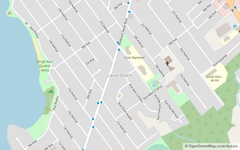
Sainte-Dorothée, Laval
Map
Facts and practical information
Sainte-Dorothée is a district in Laval, Quebec. It was a separate city until the municipal mergers on August 6, 1965. ()
Coordinates: 45°31'58"N, 73°49'19"W
Address
Saint DorothéeLaval
ContactAdd
Social media
Add
Getting there by public transportation
Public transportation stops near this location
- Bus
 Bus
Bus
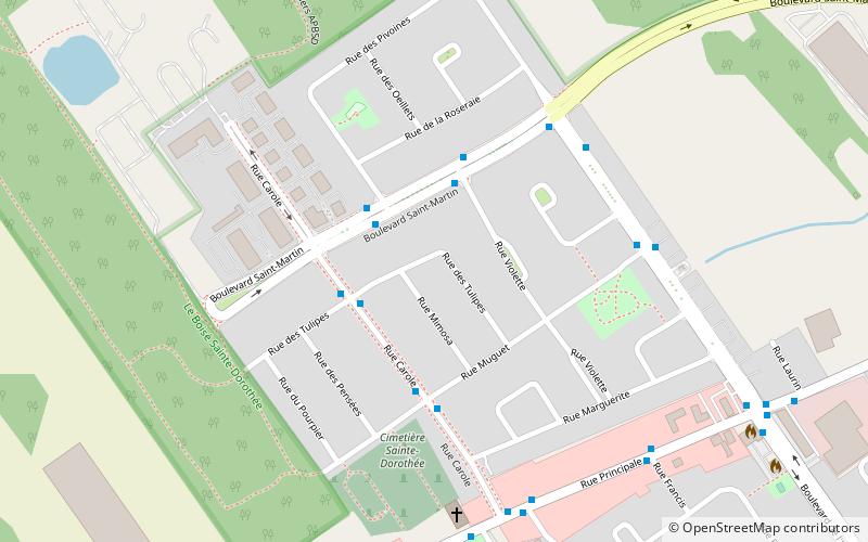
- Calculate routeSaint-Martin / Des Pivoines 3 min walk
- Calculate routeCarole / Des Tulipes 3 min walk
Day trips


Frequently Asked Questions (FAQ)
How to get to Sainte-Dorothée by public transport?
The nearest stations to Sainte-Dorothée:
Bus
Bus
- Saint-Martin / Des Pivoines • Lines: 66E, 66O (3 min walk)
- Carole / Des Tulipes • Lines: 144E, 144O, 56E, 56O (3 min walk)