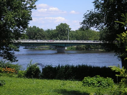
Rapides du Cheval Blanc, Montreal
Map
Gallery
Facts and practical information
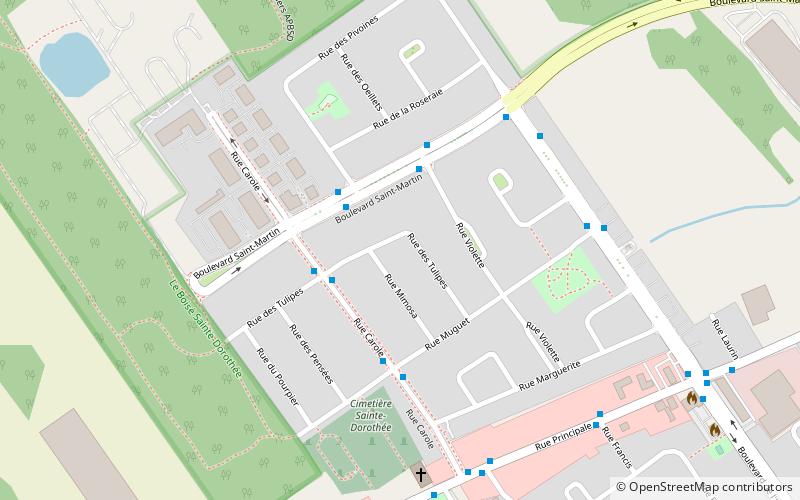
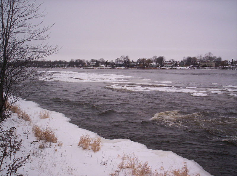
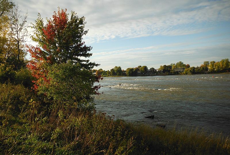
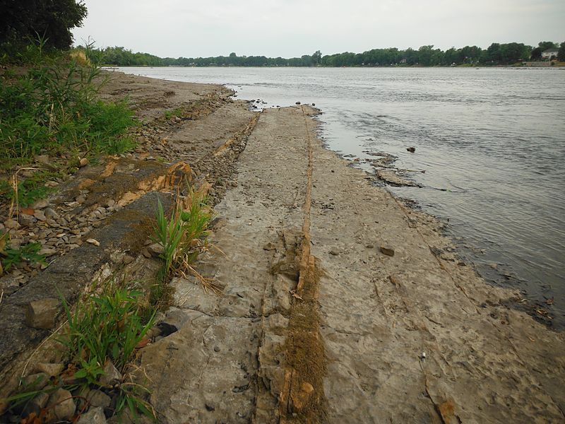
There are three locations in Quebec, Canada with the name "Rapides du Cheval Blanc". This article is on the rapids between the north side of the Island of Montreal, and the south side of Sainte-Dorothée, Laval. ()
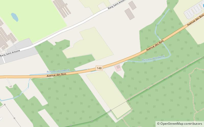
Elevation: 95 ft a.s.l.Coordinates: 45°30'50"N, 73°50'17"W
Address
West Island (Pierrefonds-Roxboro)Montreal
ContactAdd
Social media
Add
Day trips
Rapides du Cheval Blanc – popular in the area (distance from the attraction)
Nearby attractions include: Bois-de-l'Île-Bizard Nature Park, St. Genevieve's Church, Jacques Bizard Bridge, Louis Bisson Bridge.
Frequently Asked Questions (FAQ)
How to get to Rapides du Cheval Blanc by public transport?
The nearest stations to Rapides du Cheval Blanc:
Bus
Bus
- Pavillon / Saint-Louis • Lines: 205-E, 205-O (2 min walk)
- Pavillon / Perron • Lines: 205-O (5 min walk)





 Metro
Metro

