Exhibition Place Carillon, Toronto
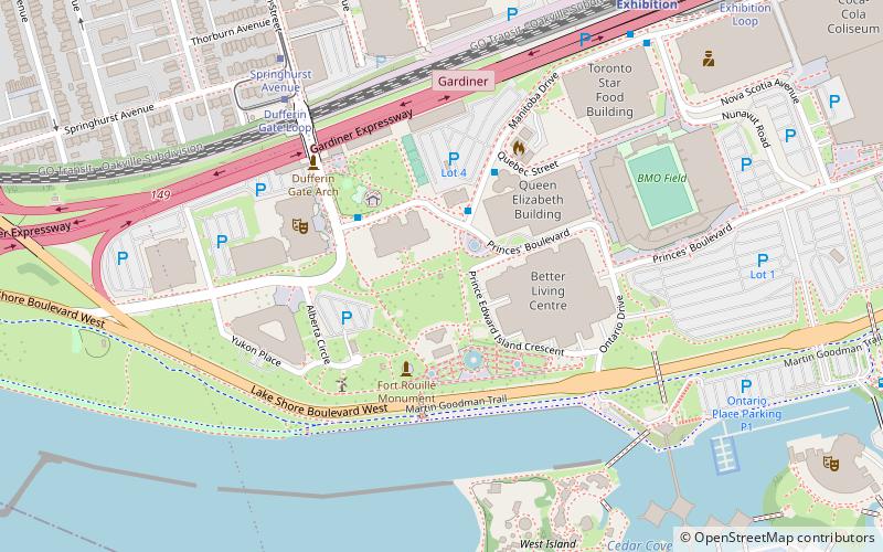
Map
Facts and practical information
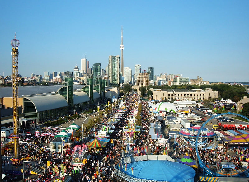
The Exhibition Place Carillon is a carillon located at Exhibition Place in Toronto, Ontario, Canada. ()
Coordinates: 43°37'55"N, 79°25'22"W
Address
West End (Exhibition Place)Toronto
ContactAdd
Social media
Add
Getting there by public transportation
Public transportation stops near this location
- Bus
- Tram
- Train
 Bus
Bus
- Calculate routeDufferin Gate Loop 6 min walk
- Calculate routeExhibition Loop 11 min walk
- Calculate routeAtlantic Avenue 12 min walk
- Calculate route130 Dunn Avenue 14 min walk
- Calculate routeDufferin Gate Loop 6 min walk
- Calculate routeSpringhurst Avenue 7 min walk
- Calculate routeLiberty Street 11 min walk
- Calculate routeExhibition Loop 12 min walk
- Calculate routeExhibition 9 min walk
Maps SubwayMaps
 Streetcar systemMaps
 PATH
PATH
SubwayMapsStreetcar systemMapsPATHDay trips
Exhibition Place Carillon – popular in the area (distance from the attraction)
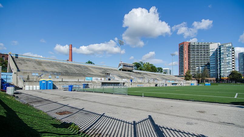
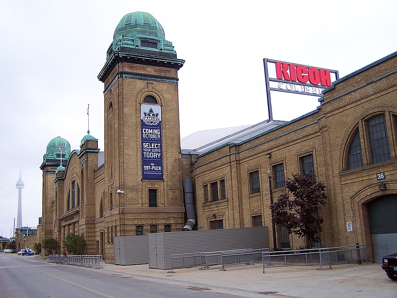
Nearby attractions include: Exhibition Place, Lamport Stadium, BMO Field, Ricoh Coliseum.


Frequently Asked Questions (FAQ)
Which popular attractions are close to Exhibition Place Carillon?
Nearby attractions include Muzik Nightclub, Toronto (2 min walk), CNE Bandshell, Toronto (2 min walk), Queen Elizabeth Theatre, Toronto (3 min walk), Shrine Peace Memorial, Toronto (3 min walk).
How to get to Exhibition Place Carillon by public transport?
The nearest stations to Exhibition Place Carillon:
Bus
Tram
Train
Bus
- Dufferin Gate Loop (6 min walk)
- Exhibition Loop • Lines: 363 (11 min walk)
Tram
- Dufferin Gate Loop • Lines: 504B (6 min walk)
- Springhurst Avenue • Lines: 504B (7 min walk)
Train
- Exhibition (9 min walk)