Cityscape, Calgary
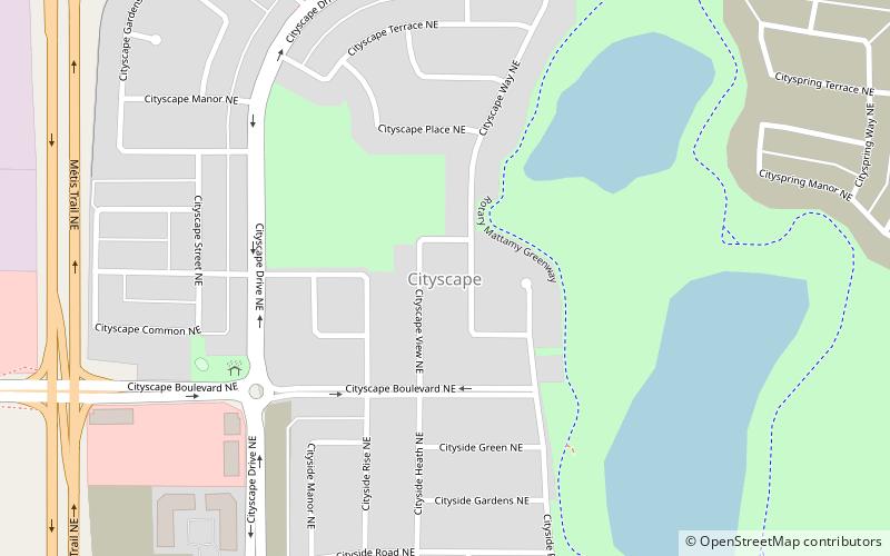
Map
Facts and practical information
Cityscape is a residential neighbourhood in the northeast quadrant of Calgary, Alberta, Canada. It is bounded by Métis Trail to the west, Country Hills Boulevard to the north, the future 60 Street NE extension to the east, and the future Airport Trail NE extension to the south. Country Hills Boulevard becomes Highway 564 as it exits Calgary to the east. ()
Coordinates: 51°8'55"N, 113°57'46"W
Address
Northeast Calgary (Cityscape)Calgary
ContactAdd
Social media
Add
Day trips
Cityscape – popular in the area (distance from the attraction)
Nearby attractions include: CrossIron Mills, Deerfoot City, Baitun Nur Mosque, The Hangar Flight Museum.


