Jemmy Jones Island, Victoria
Map
Facts and practical information
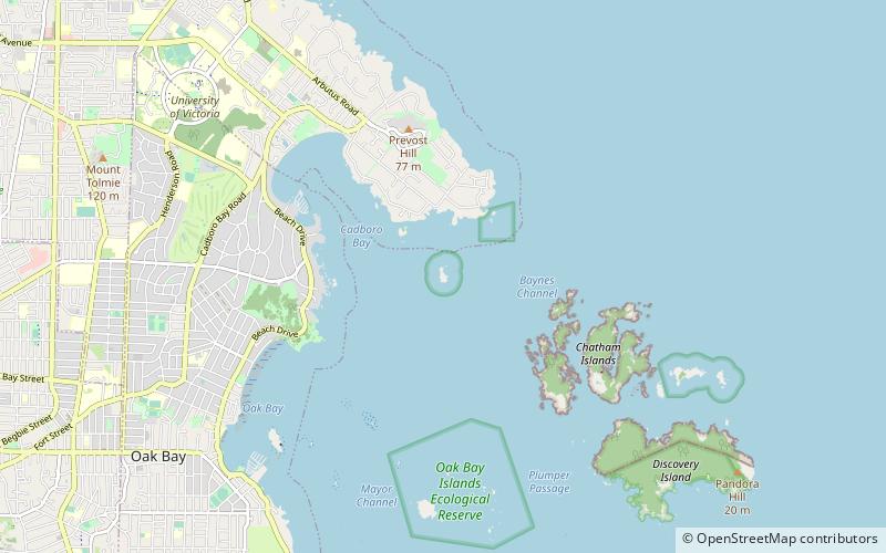
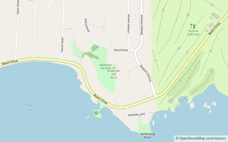
Jemmy Jones Island is an island in British Columbia, Canada. It's located off the coast of Oak Bay in the Oak Bay Islands Ecological Reserve in the Strait of Georgia northwest of the Chatham Islands and Discovery Island. ()
Coordinates: 48°26'41"N, 123°16'23"W
Address
Victoria
ContactAdd
Social media
Add
Getting there by public transportation
Public transportation stops near this location
- Bus
 Bus
Bus
- Calculate routeBeach at Lansdowne 26 min walk
- Calculate routeLansdowne at Norfolk 28 min walk
- Calculate routeTelegraph Bay at Greenvale 32 min walk
Day trips


Frequently Asked Questions (FAQ)
Which popular attractions are close to Jemmy Jones Island?
Nearby attractions include Cadboro Bay, Discovery Island (20 min walk), Ten Mile Point, Discovery Island (23 min walk).
How to get to Jemmy Jones Island by public transport?
The nearest stations to Jemmy Jones Island:
Bus
Bus
- Beach at Lansdowne • Lines: 11 (26 min walk)
- Lansdowne at Norfolk • Lines: 11 (28 min walk)