Chaparral, Calgary
Map
Facts and practical information
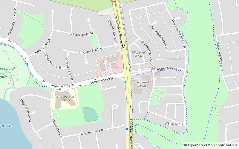
Chaparral is a residential neighbourhood in the southeast quadrant of Calgary, Alberta. It is located at the southern edge of the city, south of the Stoney Trail. To the east it is bordered by the Bow River Valley, to the south by 194 Avenue SE, and to the west by Macleod Trail. It has three sub sections that are not officially recognized, Lake Chaparral, Chaparral Valley, and Chaparral Ridge. ()
Coordinates: 50°53'9"N, 114°1'31"W
Getting there by public transportation
Public transportation stops near this location
- Bus
 Bus
Bus
- Calculate routeSB Chapparal BV @ Chapparal DR SE 1 min walk
- Calculate routeEB Chaparral DR @ Chapala DR SE 5 min walk
- Calculate routeSB Chaparral DR@ Chaparral WY SE 8 min walk
Day trips


Frequently Asked Questions (FAQ)
How to get to Chaparral by public transport?
The nearest stations to Chaparral:
Bus
Bus
- SB Chapparal BV @ Chapparal DR SE • Lines: 78 (1 min walk)
- EB Chaparral DR @ Chapala DR SE • Lines: 78 (5 min walk)