Foster Farm, Ottawa

Gallery (2)
Map

Map
Gallery
Facts and practical information
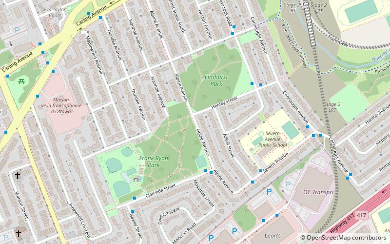
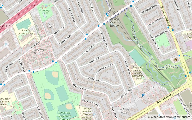
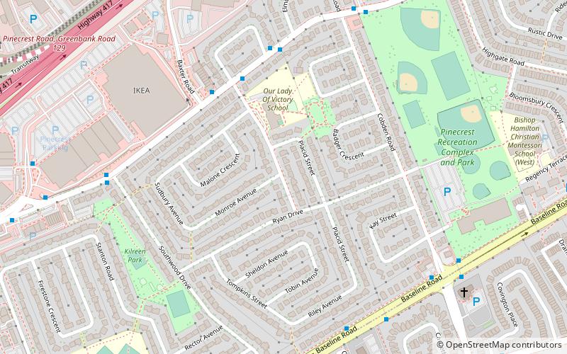
Foster Farm, nicknamed "the Farm", is a neighbourhood in the Britannia area of Bay Ward in the west end of Ottawa, Ontario, Canada. It is roughly bounded to the north by Richmond Road, to the east by Pinecrest Road, to the west by the former Ottawa/Nepean city limits and the south by the Highway 417, the Queensway. It is bordered by Fairfield Heights, Queensway Terrace North, Redwood, Michele Heights. The total population of this area according to the 2016 Canada Census was 3,636. ()
Coordinates: 45°20'56"N, 75°47'42"W
Address
Foster FarmOttawa
ContactAdd
Social media
Add
Getting there by public transportation
Public transportation stops near this location
- Bus
 Bus
Bus
- Calculate routeRamsey / Dumaurier 2 min walk
- Calculate routeDumaurier / AD. 3055 4 min walk
Day trips


Frequently Asked Questions (FAQ)
Which popular attractions are close to Foster Farm?
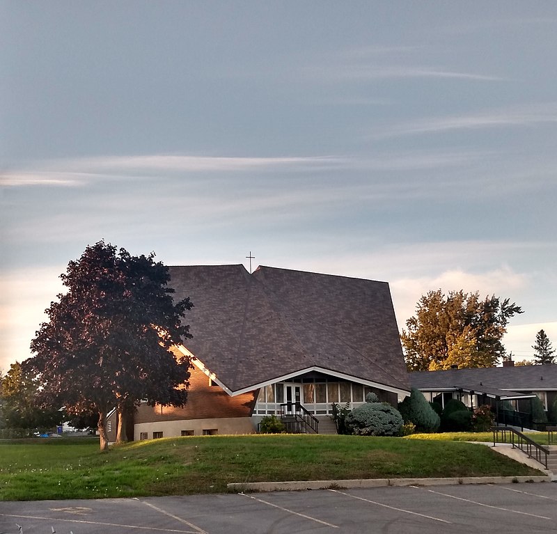
Nearby attractions include Pinecrest Station, Ottawa (7 min walk), Britannia United Church, Ottawa (10 min walk), St. Stephen's Anglican Church, Ottawa (10 min walk), Queensway Terrace South, Ottawa (15 min walk).
How to get to Foster Farm by public transport?
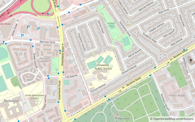
The nearest stations to Foster Farm:
Bus
Bus
- Ramsey / Dumaurier • Lines: 173, 82 (2 min walk)
- Dumaurier / AD. 3055 • Lines: 173, 82 (4 min walk)