Ridgeview, Ottawa
Map
Facts and practical information
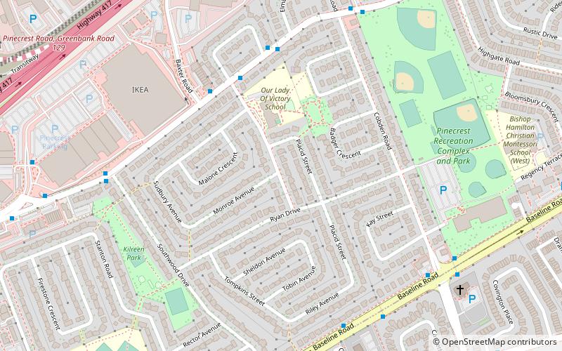
Ridgeview is a neighbourhood in College Ward in the west end of Ottawa, Ontario, Canada. It is bordered to the south by Baseline Road, to the east by Cobden Road, to the North by the Queensway, and to the west by Southwood Drive. It was developed in the 1960s along with Parkway Park. ()
Coordinates: 45°20'55"N, 75°46'46"W
Address
RidgeviewOttawa
ContactAdd
Social media
Add
Getting there by public transportation
Public transportation stops near this location
- Bus
 Bus
Bus
- Calculate routeIris / Soderlind 4 min walk
- Calculate routeIris / Baxter 5 min walk
- Calculate routeIris / Elmira 5 min walk
- Calculate routeIris / Dempsey 5 min walk
Day trips


Frequently Asked Questions (FAQ)
Which popular attractions are close to Ridgeview?
Nearby attractions include Queensway Terrace South, Ottawa (10 min walk), Parkway Park, Ottawa (13 min walk), Pinecrest Station, Ottawa (13 min walk), Britannia United Church, Ottawa (18 min walk).
How to get to Ridgeview by public transport?
The nearest stations to Ridgeview:
Bus
Bus
- Iris / Soderlind • Lines: 58 (4 min walk)
- Iris / Baxter • Lines: 58 (5 min walk)