City Shul, Toronto
Map
Facts and practical information
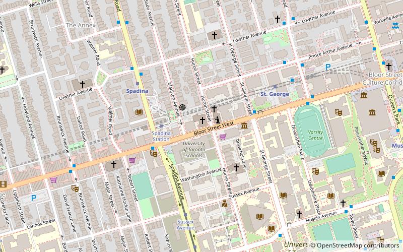
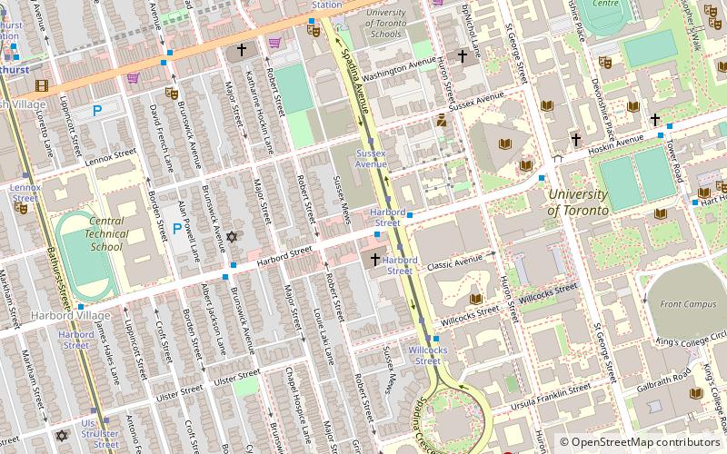
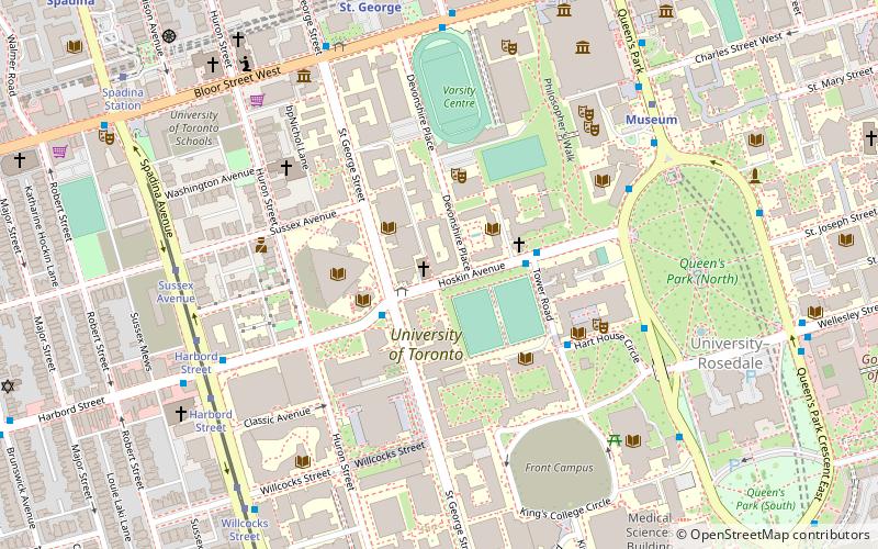
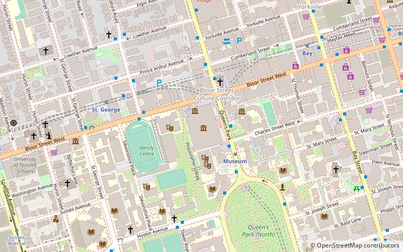
City Shul is a Reform synagogue in downtown Toronto, founded in October 2012 and led by Rabbi Elyse Goldstein. The congregation meets at 300 Bloor Street West, in the same building as Bloor Street United Church. Until September 2017, meetings were held at the Wolfond Centre for Jewish Campus Life, near the St George campus of the University of Toronto. ()
Coordinates: 43°40'2"N, 79°24'7"W
Address
Midtown (The Annex)Toronto
ContactAdd
Social media
Add
Getting there by public transportation
Public transportation stops near this location
- Metro
- Bus
- Tram
 Metro
Metro
- Calculate routeSpadina Station 3 min walk
- Calculate routeSussex Avenue 6 min walk
- Calculate routeHarbord Street 8 min walk
- Calculate routeSpadina 4 min walk
- Calculate routeSt. George 5 min walk
- Calculate routeMuseum 11 min walk
- Calculate routeBathurst 13 min walk
- Calculate routeSt. George 6 min walk
- Calculate routeSt George Street 8 min walk
- Calculate routeSpadina Avenue 8 min walk
- Calculate routeTower Road 10 min walk
Maps SubwayMaps
 Streetcar systemMaps
 PATH
PATH
SubwayMapsStreetcar systemMapsPATHDay trips


Frequently Asked Questions (FAQ)
Which popular attractions are close to City Shul?
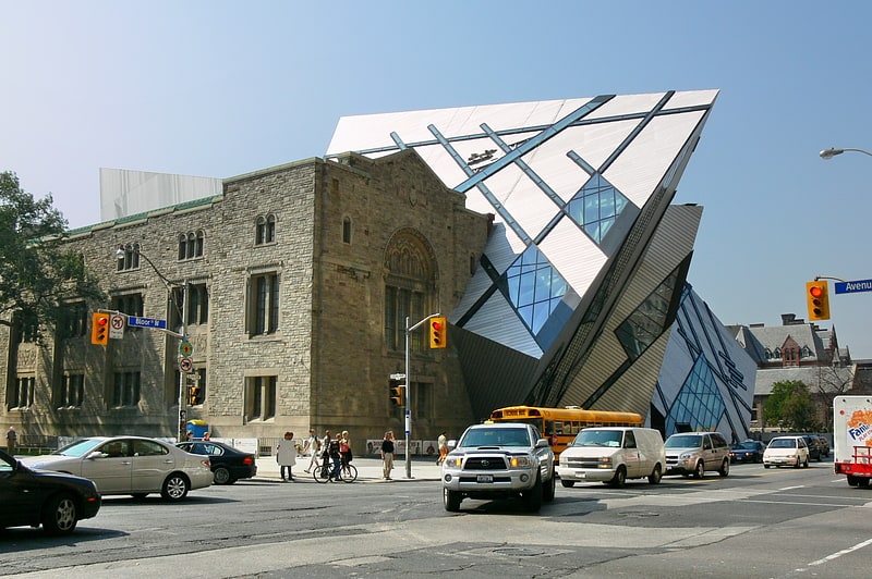
Nearby attractions include Bata Shoe Museum, Toronto (3 min walk), Bloor Street United Church, Toronto (4 min walk), The York Club, Toronto (4 min walk), Bloor Street Culture Corridor, Toronto (5 min walk).
How to get to City Shul by public transport?
The nearest stations to City Shul:
Tram
Metro
Bus
Tram
- Spadina Station • Lines: 510A, 510B, 510C (3 min walk)
- Sussex Avenue • Lines: 510A, 510B, 510C (6 min walk)
Metro
- Spadina • Lines: 1, 2 (4 min walk)
- St. George • Lines: 1, 2 (5 min walk)
Bus
- St. George (6 min walk)
- St George Street • Lines: 94A (8 min walk)